Skip to Main Content

Discover the Trail

TRAIL OVERVIEW - Lookout Rock

The Trail Overview

The Setting:

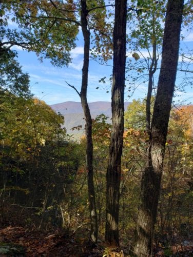
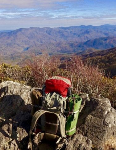
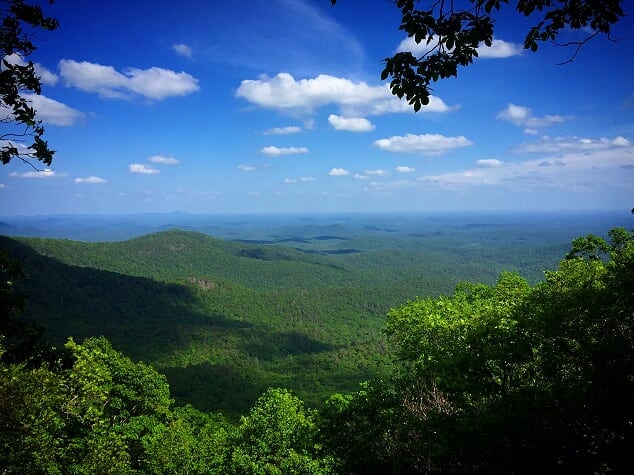
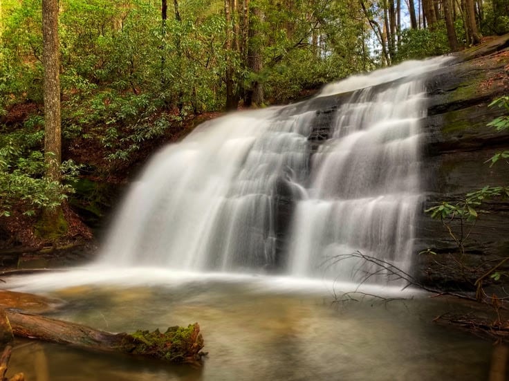
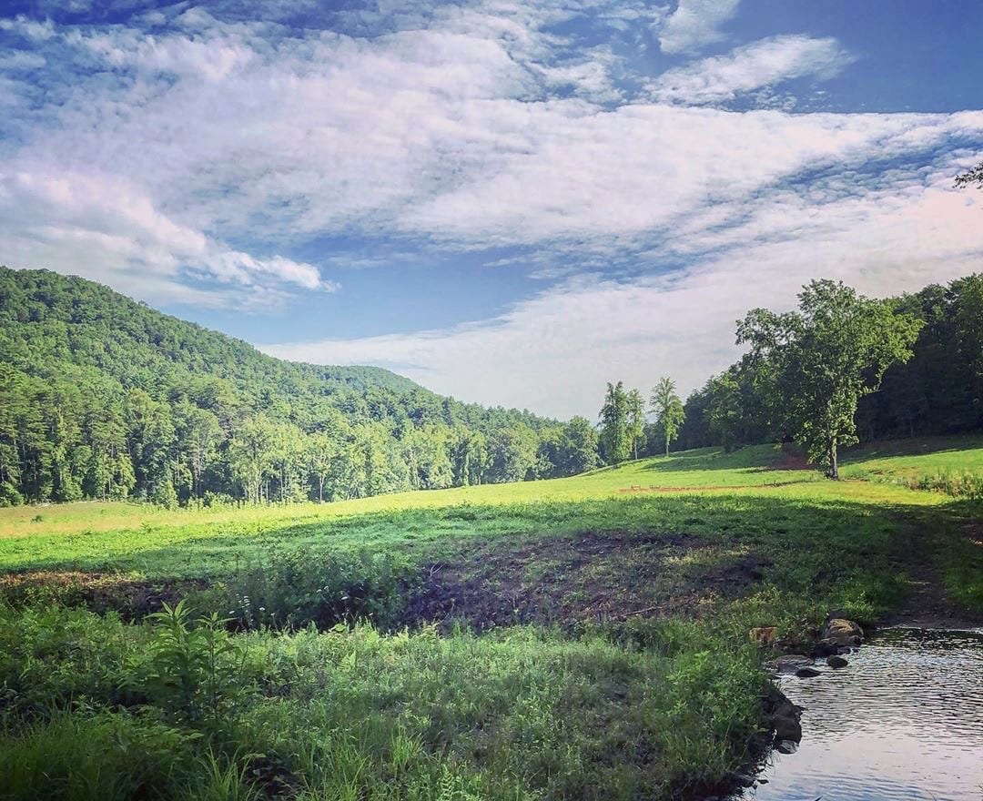
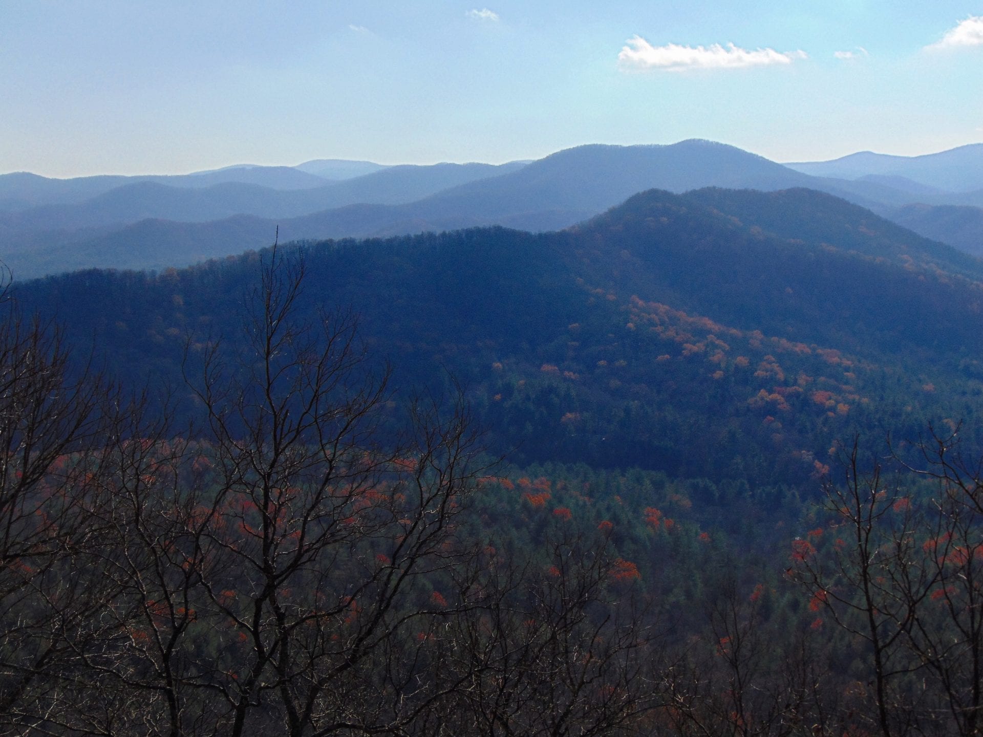
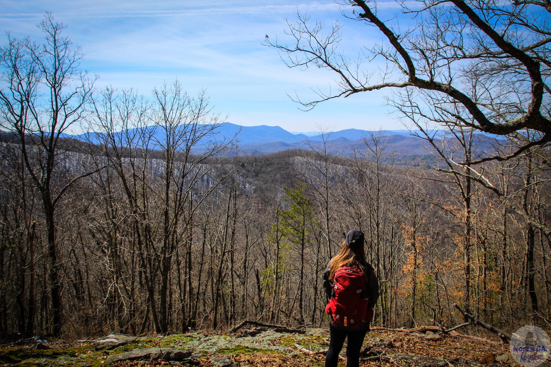
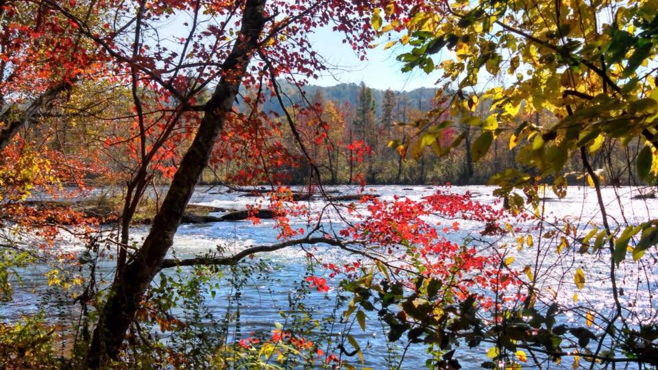
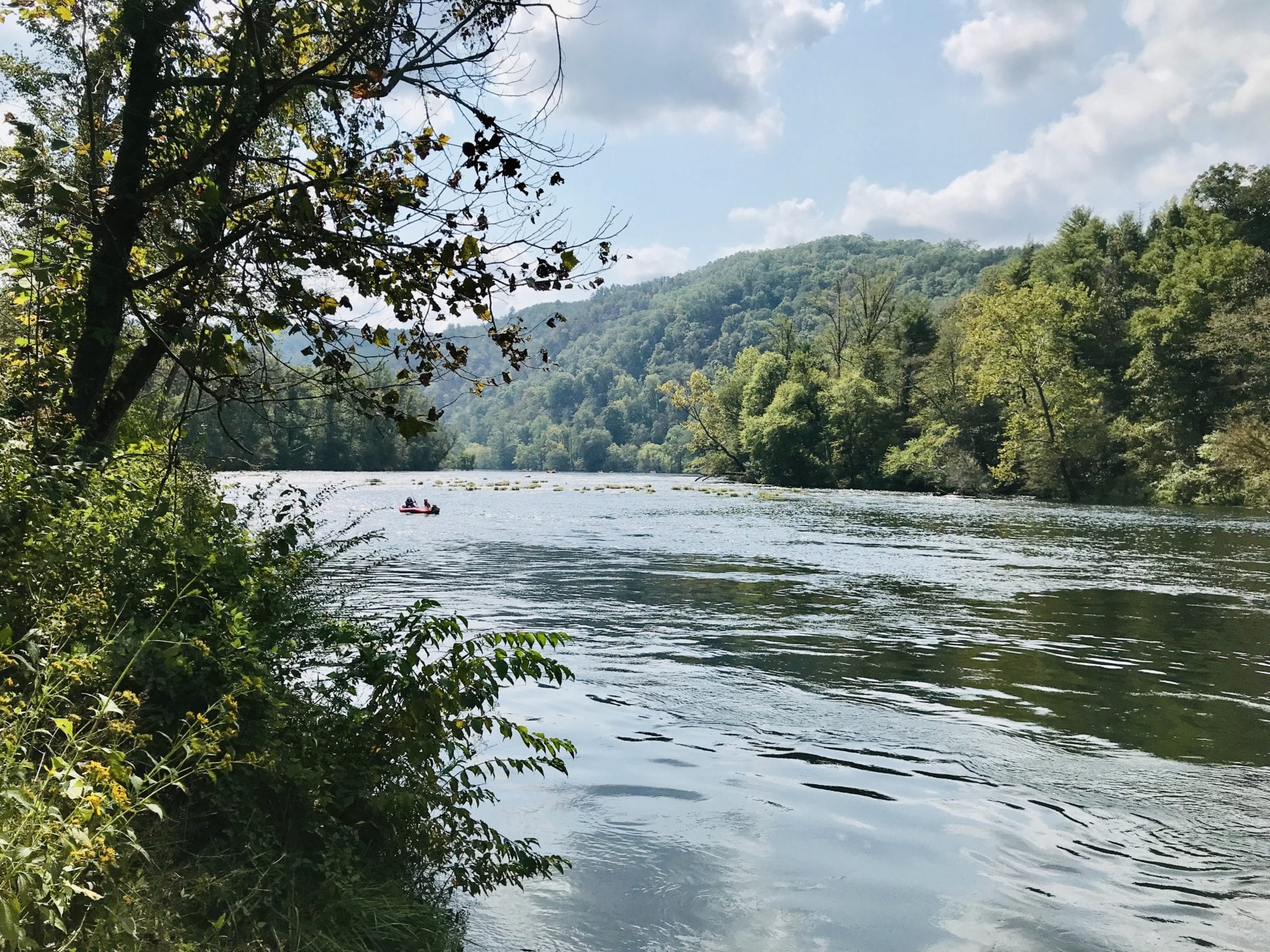
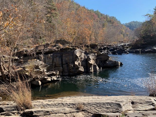
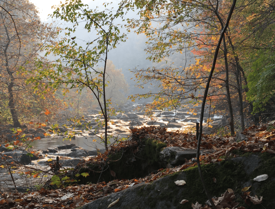
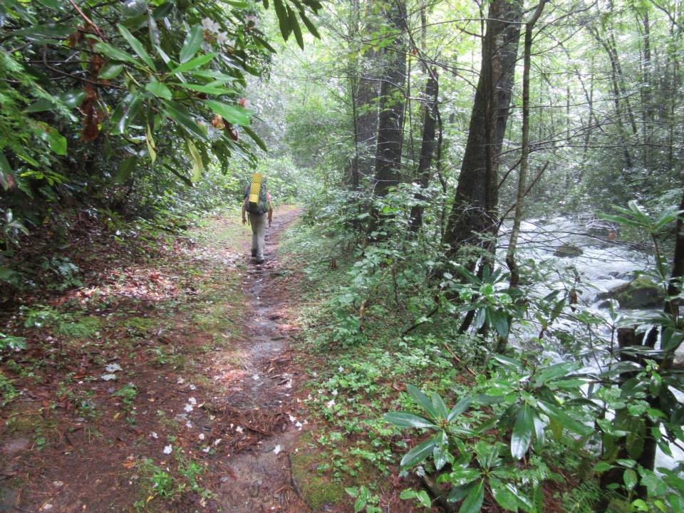
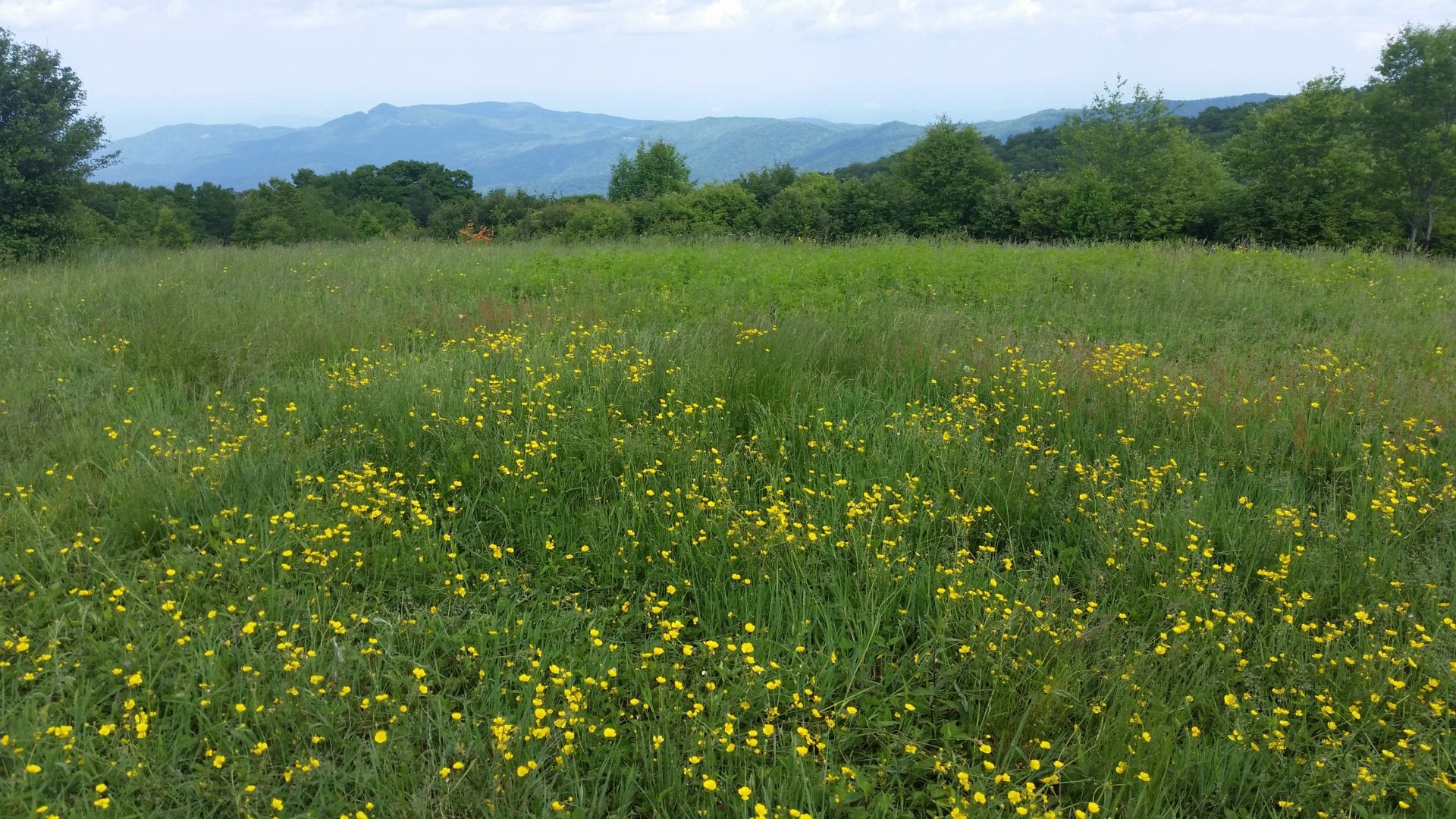
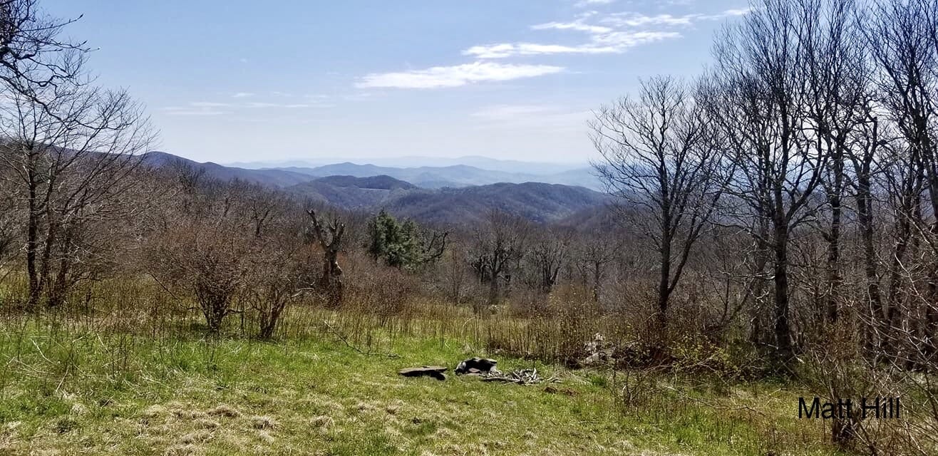
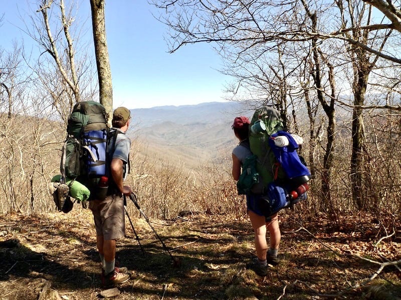
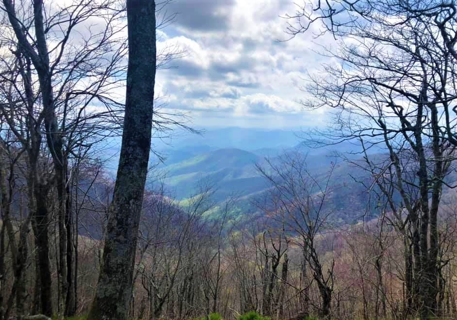
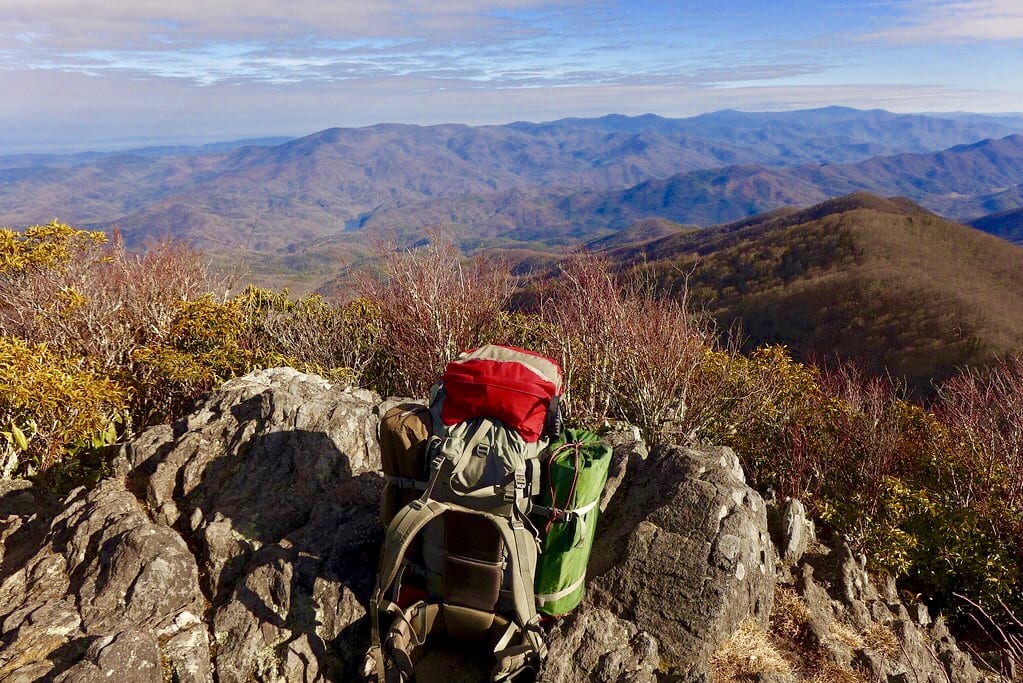
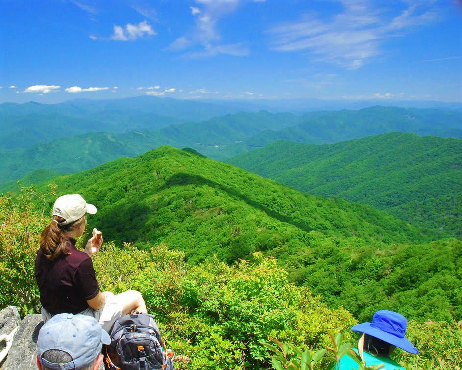
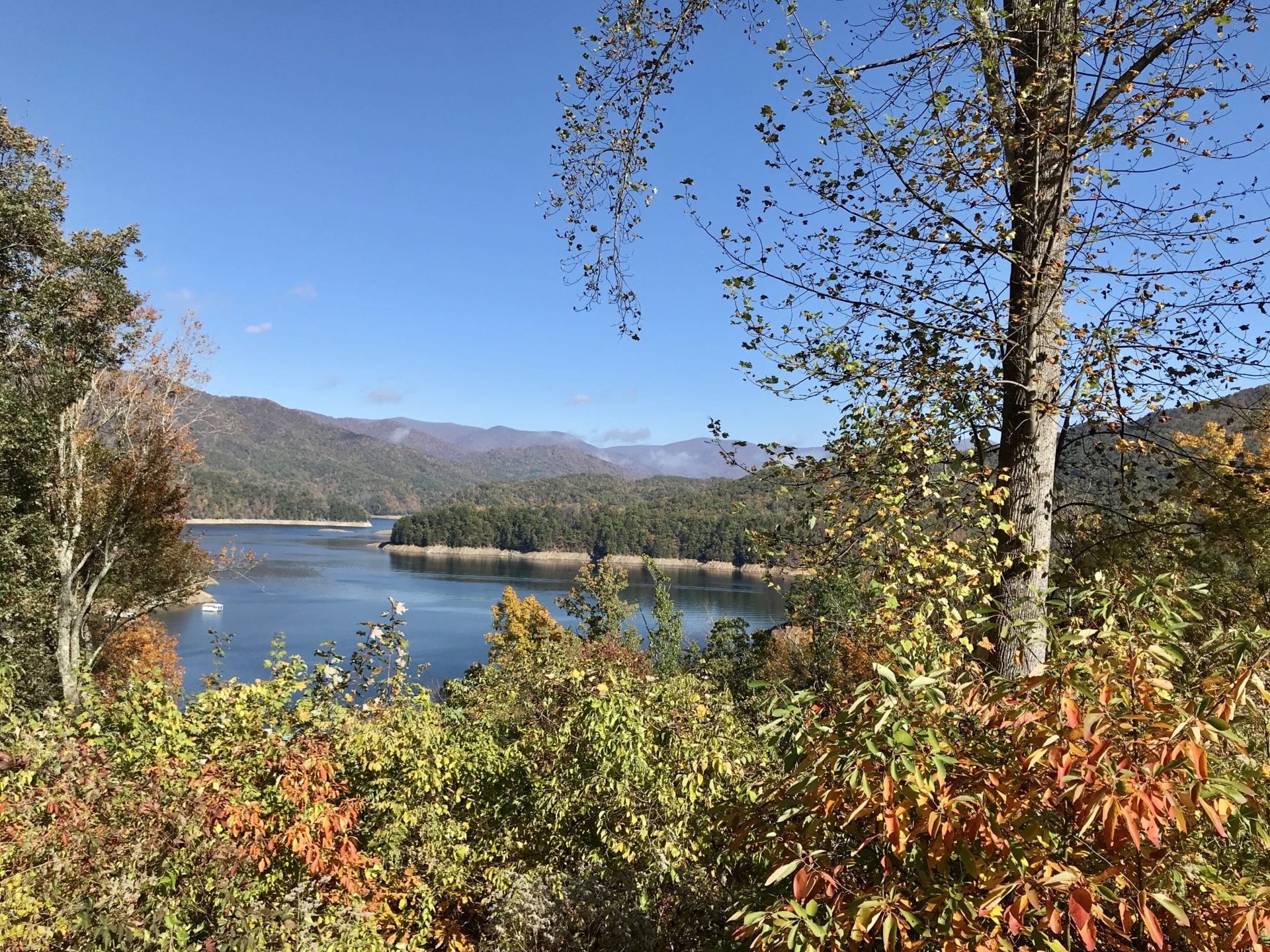
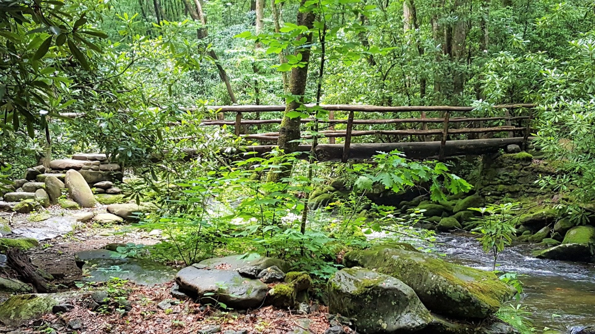
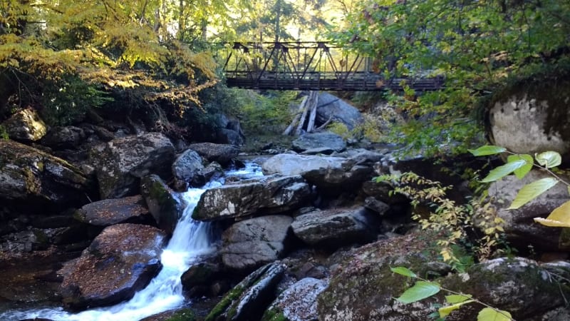
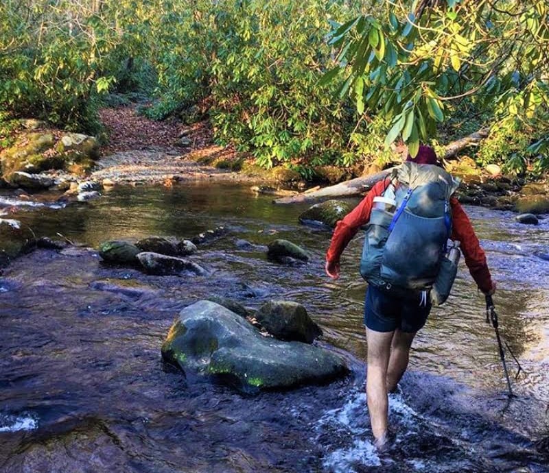
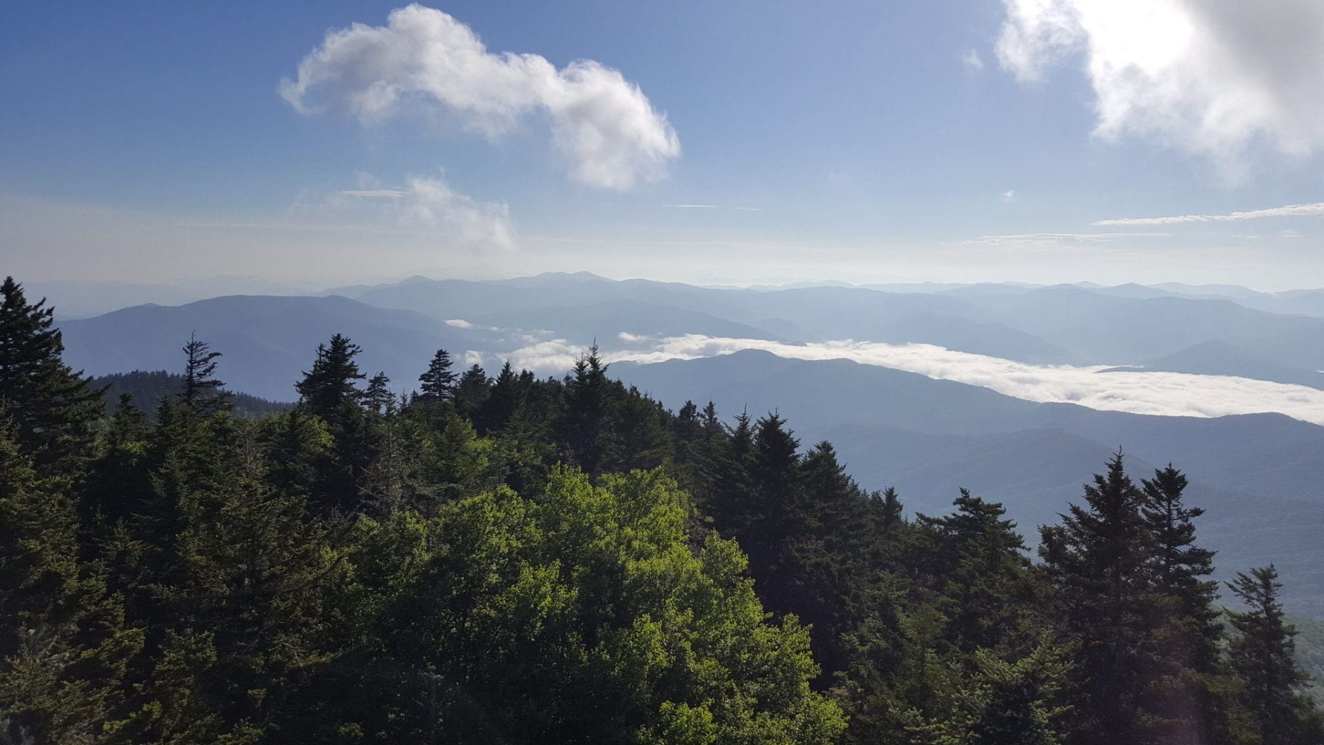
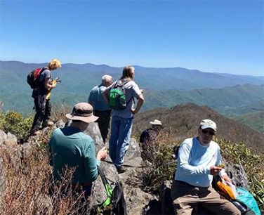
With its glorious ridgeline views and the innumerable crossings of mountain streams, the almost 300 mile long Benton MacKaye Trail (BMT) comes by its reputation for beauty honestly. Nestled in the Southern Appalachian Mountains, the BMT has some of the most varied and abundant wildflowers of any temperate climate forest in the world – and — the variety of tree species is second to none.  Whether it’s the creek-side trilliums in the spring, the red-orange of the fall sugar maples at the higher elevations or the unmatched 360 degree views in the winter, the BMT is a visual treat any time of the year.

The BMT traverses 81.8 miles in Georgia and 205.8 miles in Tennessee / North Carolina. This includes 93 miles in the Great Smoky Mountains National Park, making it the longest trail in the Smokies. Also known for its remoteness, a third of the trail lies in Wilderness areas where vehicular access and motorized tools are prohibited. Here, the hiker finds true peace and solitude.

A Quick Route Summary:

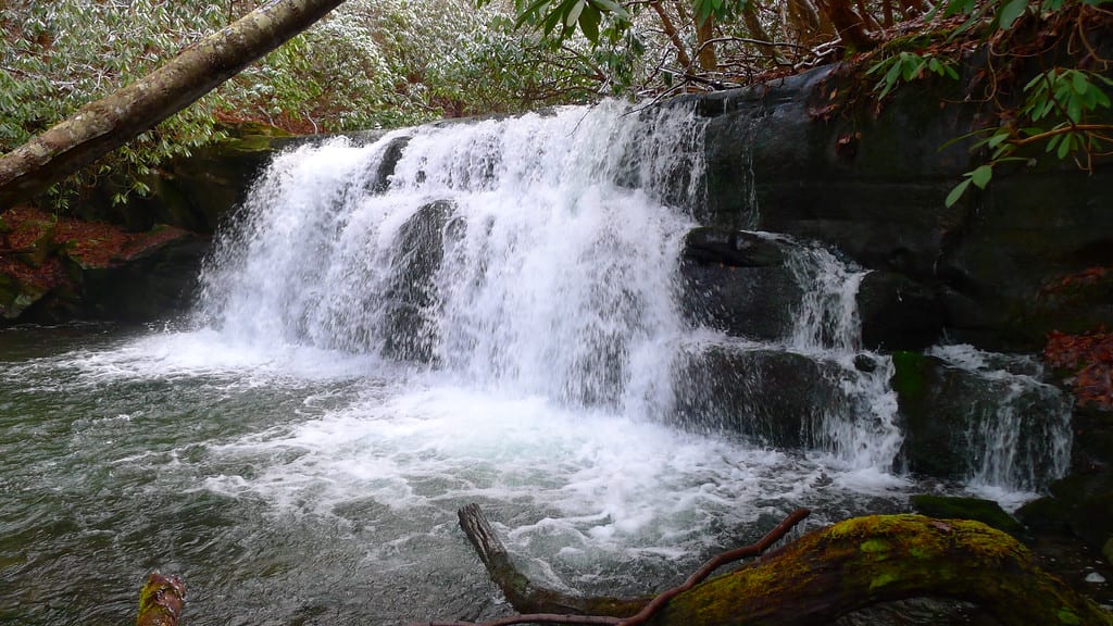
The BMT shares its start on Springer Mountain with its elder sibling, the Appalachian Trail (AT).  The views south and west from Springer are superb. The two trails, interwoven at first, intersect four times in the BMT’s first seven miles before going their separate ways at the spectacular Long Creek Falls.

With multiple BMT / AT intersections as well as Springer Mountain and Long Creek Falls, these first miles are a day-hikers dream!

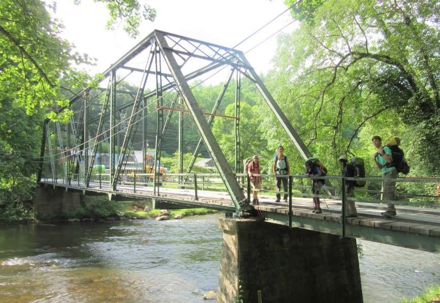
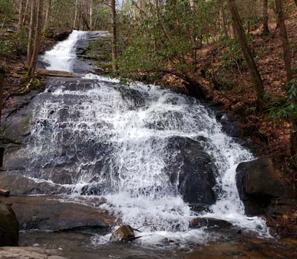
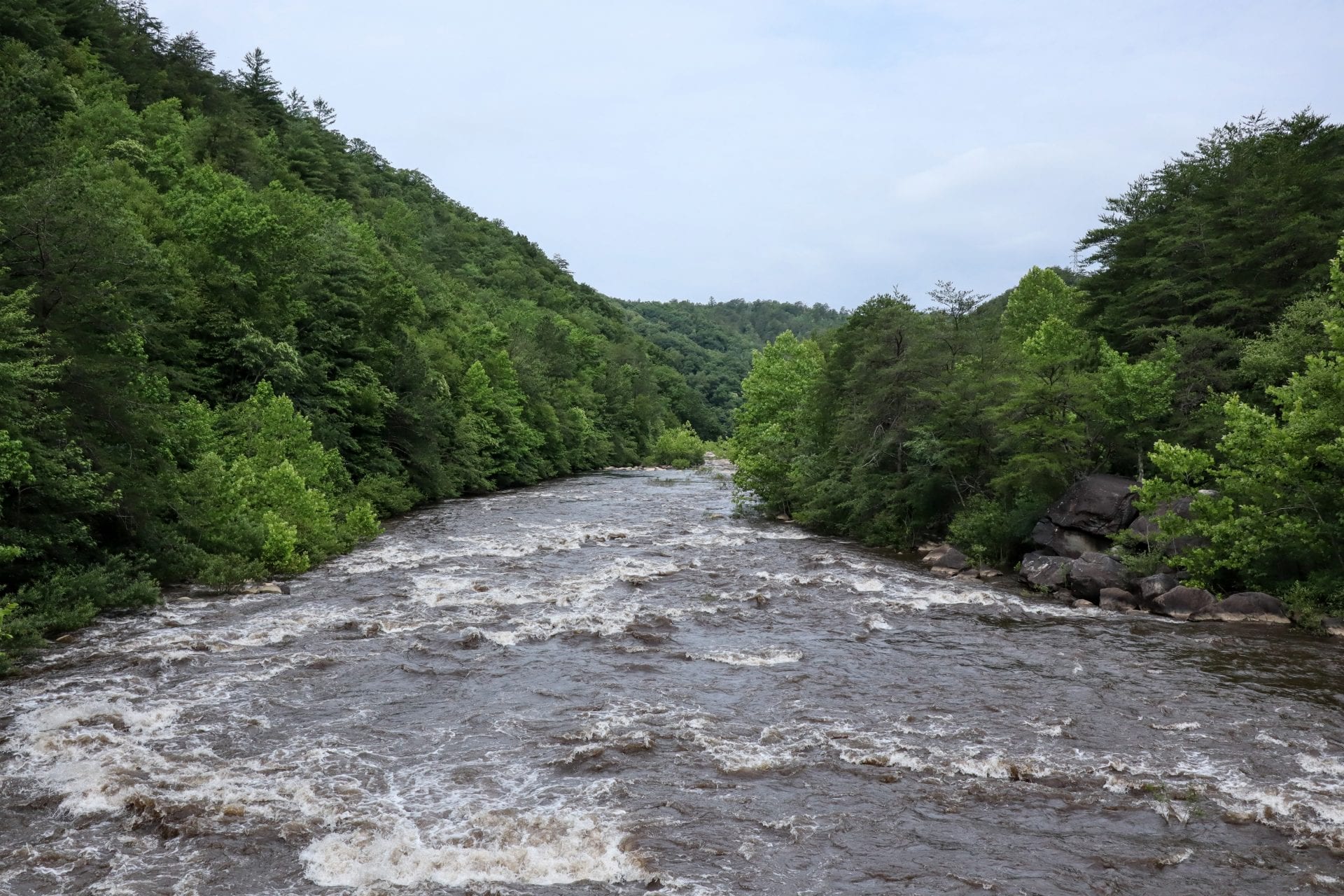
After Long Creek Falls, the BMT heads north to cross the Toccoa River on the iconic Swinging Bridge before turning west to traverse numerous summits in the 2500 to 3500 foot range, passing Fall Branch Falls enroute to the Cohutta and Big Frog Wilderness areas and finally crosses into Tennessee at Double Spring Gap.   Dramatic crossings of the Ocoee and Hiwassee rivers are a prelude to the trail’s ascent to the boundary ridge between Tennessee and North Carolina near Sandy Gap and some of the best 360 degree views along the trail.

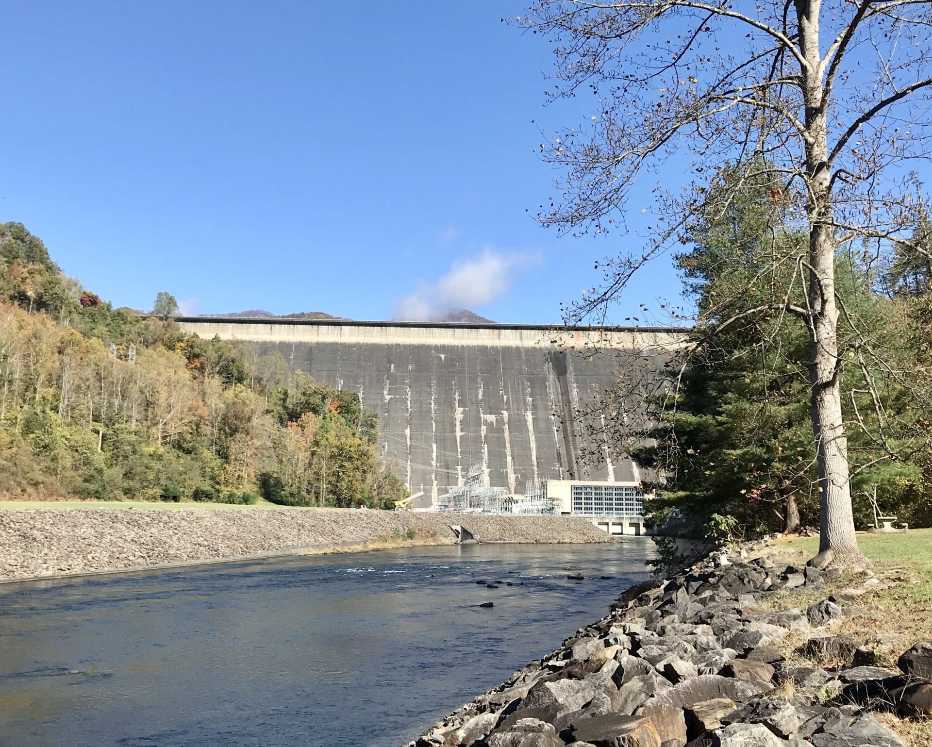
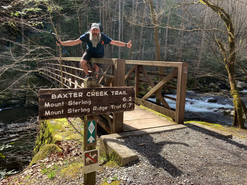
One hundred eighty miles after they parted ways at Long Creek Falls, the BMT and AT meet again near Fontana Dam as they approach the Great Smoky Mountains National Park. Once into the Smokies, the BMT follows a course close to Fontana Lake with superb lake-side camping (permit required) before climbing to the top of Mount Sterling (at 5842 feet the BMT’s highpoint) and then descending to Big Creek — the trail’s northern terminus.

This magnificent trail remains open year round, in part, due to the diligent work of volunteers. BMTA volunteers remove downed trees, clear overgrowth vegetation and repair the trail’s tread. After you enjoy a hike on the BMT, join BMTA’s volunteers on one of our Saturday work trips. To learn more, go to Volunteer

A QUICK ROUTE SUMMARY FBF

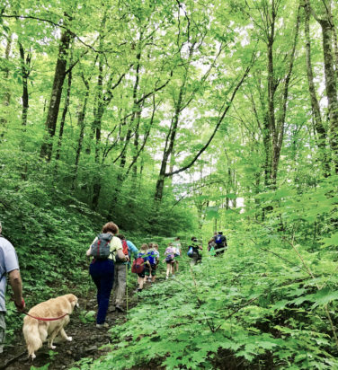
Join a Sponsored Hike

You Are Invited to Join

Benton MacKaye Trail Association Sponsored Hikes

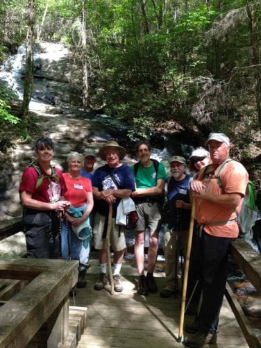
It’s easy to join a BMTA Hike. Go to our Calendar Page where you’ll find a list of upcoming hikes.

The majority of hikes are open to Members and Non-Members alike. If you are in shape for the hike, you are invited to join us!

Select a Hike

1. Select a Hike 

Once you’ve found a hike that interests you, read the description of the hike carefully, including its length and difficulty. Then ask yourself honestly whether this hike is appropriate for your recent hiking experience and current level of fitness.

Keep in mind that leisurely strolling, or even power walking on the pavement in your neighborhood, is a far cry from hiking along a trail embedded with rocks and roots – not to mention the challenging ups and downs of mountainous terrain.

But, if you are ready, we invite you to join us! 

2. Confirm Your Interest

Go to the Calendar Page. Peruse scheduled hikes and click on the hike of your choice. You will be taken to a page with more detailed information about the hike – as well as a form to fill out (name, email address and cell number) to confirm you will be attending the hike. This information will be sent to the Hike Leader who will contact you to advise where and when to meet. In order to carpool to the trailhead, BMTA Hikes usually meet at a convenient parking lot or “park and ride” facility.

Note:  Your cell number will be used in the event you are running late and the Hike Leader needs to confirm you are on your way.

If you become separated from the group, your cell number also may make it easier to find you.

Always let the Hike Leader know ahead of time if you won’t be able to make it.

sponsored hikes 2-Edit-c
PREPARATION Hangover

3. Preparation

Before the hike, be sure you have appropriate clothing for the season and weather, including hiking boots or good, sturdy shoes … and perhaps, a trekking pole.

Each hiker is responsible for his or her own safety so it’s important to have a first aid kit and emergency supplies as well as any personal medications.

Read our Hiker’s Guidelines linked Here.

If the hike you selected is designated as “Dog Friendly”, please read the Guidelines for Bringing a Dog Here.

A Google Search will produce numerous lists of what to take, even on a short day hike.

Then put your clothes and supplies in a good backpack, add your snack and / or lunch with lots of water … and … you’re ready to hike!

4. Off to the meeting spot.

  • Arrive early so as not to make your hiking companions wait.
  • Complete the sign-up form. It is essential that you provide an emergency contact number that will be answered at any time during the hike.
  • Listen carefully to the Hike Leader’s instructions — they usually deal with hiker safety.
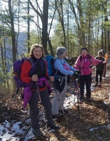
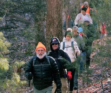
  • Enjoy a wonderful outdoors experience along with the pleasant camaraderie of other hikers.

If you want to receive the monthly Sponsored Hike Schedule Sign Up Here.

For information on becoming a member of the Benton MacKaye Trail Association go to MEMBERSHIP.

OFF TO MEETING SPOT

Hiker Guidelines

  • Concept

    The BMTA Hike Director schedules one or more recreational hikes each month. An effort is made to schedule hikes of varying difficulty and in locations that are convenient to members who live along the BMT corridor.

    Occasional backpacking and camping excursions also are scheduled. Each hike will be listed on the Activity Calendar. Although open to the public, priority for participation goes to BMTA members first. Our hikes include treks along the BMT as well as other trails in Georgia, Tennessee, South Carolina and North Carolina.

  • Liability

    BMTA members and guests must recognize there are risks and responsibilities involved and be willing to assume these risks. In order to participate, members and guests are required to sign a waiver of liability at the beginning of each BMTA event. If the parent does not accompany a minor, the disclaimer for minors must be signed in advance.

  • Health

    It is the personal responsibility of each participant to ensure that he / she is physically fit enough for the field conditions that exist and any unexpected conditions that may occur … as well as to be able to keep up with the group. Be aware that hiking in the mountains is considerably more difficult than walking on roads, sidewalks and treadmills. Each individual is responsible for his / her medical requirements, including first aid supplies and medications. You must inform the Hike Leader if you suffer from medical conditions which could arise on the hike. For example: Insect allergies, diabetes, hypoglycemia, heart problems, etc. In addition you must show the other hikers the location of any emergency medications you are carrying (such as an EpiPen).

  • Participation

    Hikers must phone or email the designated Hike Leader to determine if the hike is appropriate for the hiker’s level of fitness and experience. Beginning hikers, or hikers with below average fitness, should begin with shorter hikes or hikes rated “easy”. As they develop their hiking skills, they can transition to more difficult hikes. All hikers should arrive at the meeting place 15 minutes prior to the beginning of the hike so they can hear the Hike Leader’s instructions, sign the liability waiver and get directions to the trailhead. Generally, our hikes depart on time. Even if you are only a few minutes late, the group may have departed without you unless you make other arrangements with the Hike Leader. Guests will be allowed on hikes on a space available basis and must pre-register with the Hike Leader. In other words, don’t surprise the Hike Leader by showing up with several unexpected guests that have not been vetted.

  • Cancellation

    Hikes may be cancelled due to current or impending bad weather conditions. If in doubt, phone the Hike Leader before reporting to the meeting place. If the hike is cancelled, the Hike Leader will contact everyone via email.

  • What to Bring
    • Water: 1 quart plus 1 quart more than you think you need.
    • Snacks: Personal choice.
    • First Aid Kit and hand sanitizer.
    • Rain Gear.
    • Cell phone.
    • Sunscreen and insect repellent.
    • Headlamp or small flashlight.
    • Extra clothing (socks, hat, gloves, layers).
    • Backpack, knife, whistle, plastic bag, map and compass, toilet paper and trowel.
    • Trekking Poles.
  • What to Wear

    The best hiking clothes are synthetic, wool or silk materials that wick moisture and dry quickly. Multiple thin layers work better than fewer thick layers. Cotton is not advised because it retains moisture, dries slowly and cotton socks may cause blisters. Comfortable, well-broken-in hiking boots / shoes. Street shoes and work boots are not the best choice.

  • Ride Sharing

    It is the policy of BMTA not to become involved in ride-sharing. The Hike Leader will lead the group to the trailhead. Who you ride with to and from the trailhead is a personal decision that does not involve the Hike Leader or BMTA. If you do ride with another hiker, please remember to contribute for driving expenses.

  • Hike Management

    Each hike will have a designated Hike Leader. The Hike Leader may appoint co-leaders as well as sweeps for each hiking group. Hikers should stay on the trail between the leader and the sweep. By participating in a BMTA sponsored hike, you agree to accept the authority of the leader(s) and to follow their directions.

    If it is necessary for you to leave the trail for a restroom break, inform the leader or sweep and the sweep will wait on the trail until you return.

    If you decide to leave the hike altogether, the leader must be informed and physically sign you out on the sign-out sheet. This does not apply if you need assistance. The Hike Leader will normally ask another hiker to accompany you back to the trailhead.

    If you are in doubt about your ability to complete the hike without problems, heed the advice of the Hike Leader. It is better to miss the hike than to endanger yourself and others if you encounter problems. The Hike Leader may exclude any person from a hike at his or her discretion.

    Pets are not to be brought on any BMTA sponsored hike that is not designated a “Dog Hike”.

  • Hike Etiquette

    Hiking etiquette is mostly common sense, but there are a few topics that are hiking specific:

    • Hike quietly and keep communication at a conversational level.
    • When hiking on a trail, the larger group yields to the smaller group and moves off the trail until they pass.
    • When hiking downhill, yield to any hiker coming uphill.
    • Yield to horses on the downhill side of the trail.
    • When the group stops for any reason, move off the trail to let others pass.
    • Allow space so that if you fall, you don’t take the person in front of you down too.
    • Turn your cell phone off!!!
    • Bring plastic bags to put your dirty wet boots in when riding in another’s vehicle.
  • Be Bear Prepared on the BMT

    A variety of wildlife exists in the forest — including bears.
    You may never see one on the trail, but if you do, you need to know how to react.

    Better yet, you need to know what you can do to prevent a bear encounter.

    Forest Service Recommendations

    Great Smoky Mountains National Park Recommendations.

  • Leave No Trace

    BMTA subscribes to the principles of “Leave No Trace”. For more detailed information go to www.lnt.org.

    • Leave what you find. Take only pictures and leave only memories.
    • “Pack it in-Pack it out.” This applies to your lunch and snack breaks. All leftover food waste and litter must be packed out and taken back. No apple cores, banana peels or any other food or litter is to be left in the forests or on trails.
    • All human solid waste must be deposited at least 200 feet from water or trails. Solid waste must be deposited in cat holes dug 6 to 8 inches deep, covered and disguised. Toilet paper and other hygiene products must be packed out. This is a good use for waterproof plastic bags.
    • Strive for minimal impact. When on a hike, if no one can tell that we passed through an area, that is success. Hike on durable trail surfaces and stay on the trail. As good stewards of the environment, carry out absolutely everything you carried in. When feasible, pick up other litter along the way.
  • SAFETY

    You are responsible for yourself, so be prepared:

    • With knowledge and gear. Before you start, become self-reliant by learning about the terrain, conditions, local weather and your equipment.
    • To leave your plans. Tell someone the trails you will be hiking, the gear you are taking, when you will return and your emergency plans.
    • To stay together. When you start as a group, hike as a group and finish as a group. Pace your hike to the slowest person.
    • To turn back. Weather changes quickly in the mountains. Fatigue and unexpected conditions can also affect your hike. Know your limitations and when to postpone your hike
    • For emergencies, even if you are headed out for just an hour. An injury, severe weather, or a wrong turn could become life threatening. Don’t assume you will be rescued; know how to rescue yourself.

    August 5, 2016. Thanks to the Mountain High Hikers of Blairsville, GA, for providing the model for these guidelines.

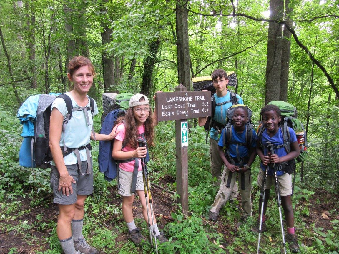
HIKING WITH KIDS

Tips for Hiking With Kids

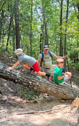
  • Have contingency plans – one kid might have the ability but just plain stops and won’t go any further. Are some family members going to go on, while others wait or walk back? What’s the plan?
  • Take plenty of water and snacks. Carry a water filter and show the kids how to use it.
  • Carry small trash bags so the kids can clean the trail as they hike. However, bending over and picking up something in the woods may be harmful. Perhaps have kids point it out and Mom or Dad, wearing gloves, checks for things that bite and puts it in the bag of the little one who saw the trash. Biggest bag at the end of the hike wins. Be aware, Mom, Dad or both will end up carrying all the bags after about a mile in.
  • Have a change of clothes, dry shoes and towels in the car.
  • Point out “walk arounds” and encourage them not to use them. A “walk around” is where the trail has been obstructed by a tree or standing water and a hiker will walk around creating a wider trail, thereby increasing erosion. Also discourage kids from taking a shortcut across switchbacks. This is dangerous and leads to severe erosion problems.
  • Encourage them to remove sticks and branches on the trail so that the next hiker will have a clear pathway. And kick those “rollers” off the trail! A “roller” is a small, round branch that, when stepped on by a hiker, will roll, possibly causing the hiker to fall or sprain an ankle.
  • Carry a small first aid kit, whistle and bug spray.
  • No flip flops … everyone should wear sturdy shoes.
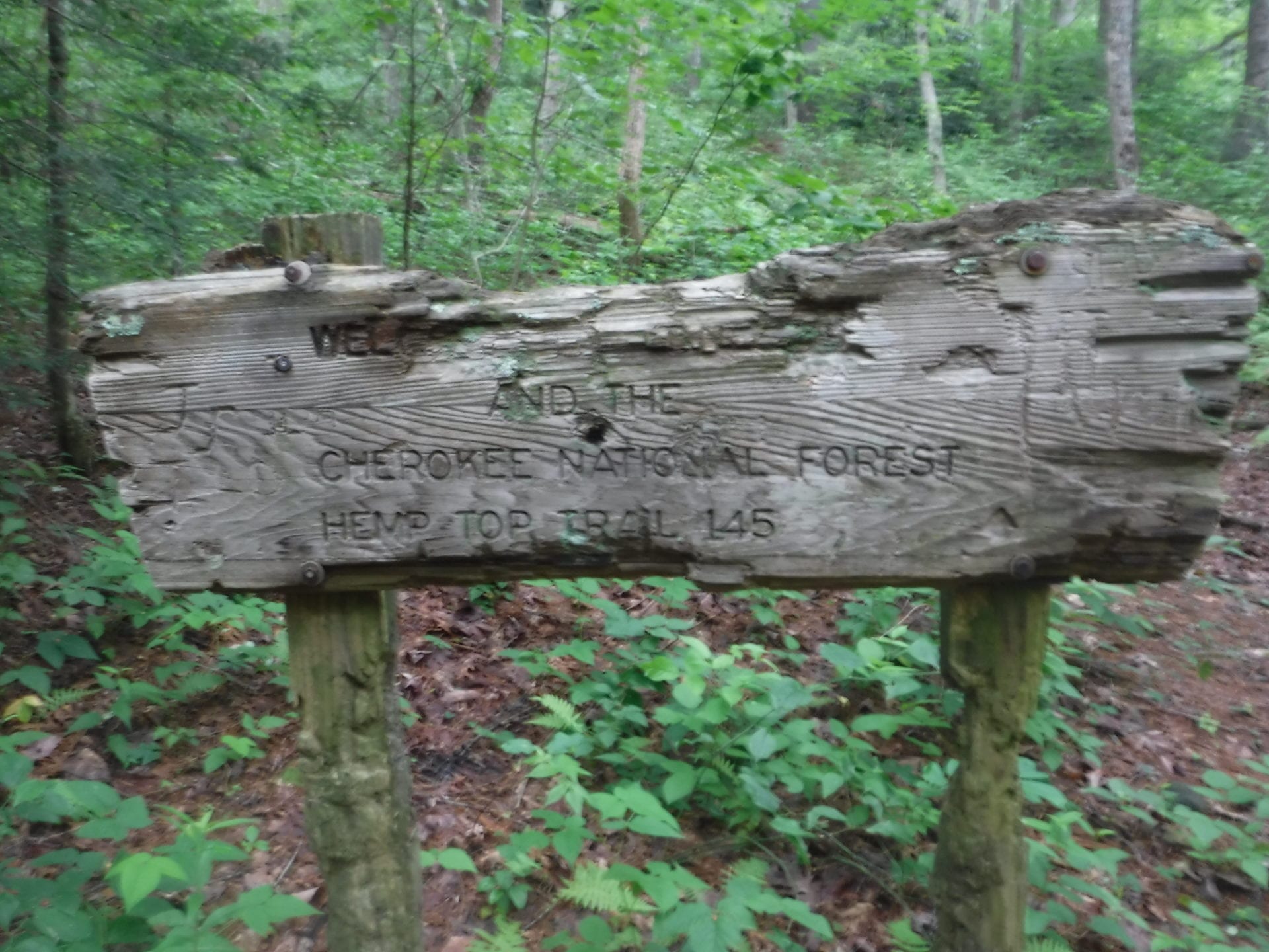
  • Feel and smell the leaves and wood, but please don’t pick the wildflowers. There also is a fair amount of poison ivy in the Cherokee National Forest. Point it out and tell your kids not to touch it.
  • Point out obvious signs of trail maintenance, like trees cut out of the path or trails dug into the side of a mountain. Explain that these trails are taken care of by volunteers – which means they come out in the mountains and woods to work on the trails and don’t get paid.
  • Plan on bringing your kids on a trail work day.
  • Last, but not least, check for the latest trail conditions HERE.

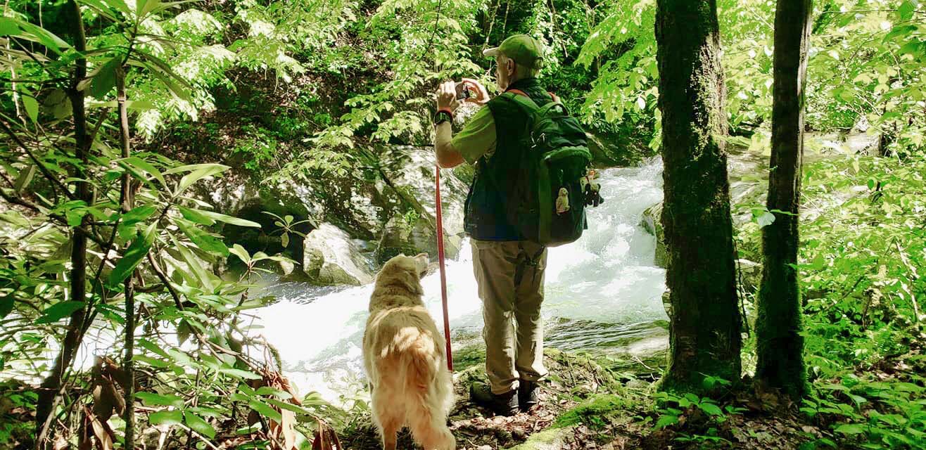
Guidelines for Bringing Your Dog On a Sponsored Hike

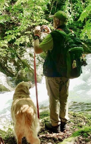
Dogs are loyal companions and great hikers and they can contribute to a great hiking experience. However, dogs are allowed only on those BMTA hikes that are specifically designated as “Dog Friendly.”

If you are considering bringing your dog on a “Dog Friendly” BMTA Hike, you must notify the Hike Leader in advance, and agree to abide by these guidelines:

  • Dogs must have a current rabies vaccination tag attached to their collars.
  • Well-behaved dogs only. Dogs that have ever behaved at all aggressively toward people or other dogs must be left at home.
  • Dogs must be kept on a six-foot or shorter leash at all times. Retractable leashes are not acceptable.
  • You may not bring more than one dog on a hike and you must keep your dog under your control at all times.
  • You must maintain an appropriate distance between your dog and other dogs and people until and unless another person invites you to allow your dog to approach.
  • Do not allow your dog to jump on other people — most people, even dog lovers, do not like that.
  • While hiking, keep an appropriate distance between your dog and the hiker in front of you at all times. No one wants a dog bumping their heels or licking their legs.
  • Maintain a reasonable distance between your dog and other dogs — and people — during rest breaks and lunch. No one wants your dog in their food.
  • Bring adequate water for you and your dog. Bring a bowl for your dog as well.
  • Bring something to pick up any dog poop should your dog leave any in the trail.
  • Drive your dog in your own car unless you have made previous arrangements with another driver.
  • Each dog owner must ensure that his or her dog is physically fit for the hike. Just as with people, dogs must be experienced hikers if they are going to enjoy a BMTA Hike. Hiking in the mountains is considerably more difficult than walking on roads or sidewalks. This must not be your dog’s first hike of this length and difficulty.

Dog owners who do not comply with these guidelines will not be allowed to bring their dogs on future “Dog Friendly” BMTA hikes.

If you have any questions about these guidelines or your dog’s participation in a “Dog Friendly” BMTA hike, please email hikeleader@bmta.org in advance of the hike.

HIKING WITH DOGS

Best of the Benton MacKaye Trail

Do you have pictures you’d like to share for the Best of the Benton MacKaye Trail?
Send to SharePictures@bmtamail.org.

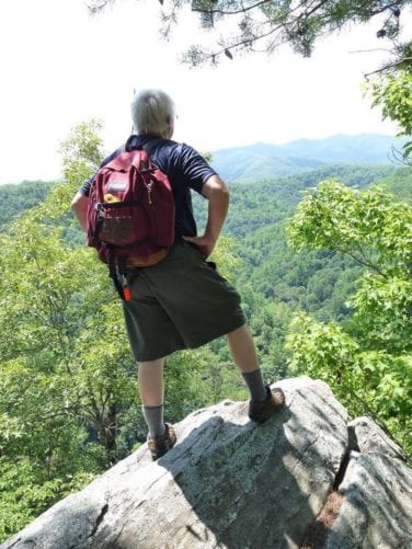
Man looking over mountains

onX: Hiking Project - Interactive Maps and Trail Descriptions

onX Hiking Projectgo to this link for complete and detailed descriptions of every section as well as maps of the 300-mile Benton MacKaye Trail. The Benton MacKaye Trail Association and other trail associations and hikers are extremely appreciative of onX’s innovations and support.

Here is an excellent source for planning your hike. Although this website does not take the place of a good compass, maps and guide books, the site does offer descriptions, maps, pictures and much more. Please say “thank you” to onX by uploading your pictures and trails stories to this site.

The site is open to all hikers. Your pictures and trail stories on the Hiking Project will help others. Your updates, corrections and suggestions will make the Benton MacKaye Trail a better experience for everyone.
To receive the latest BMTA news, updates and announcements, Sign Up Here.

Access Points/Trail Heads

Georgia

At Mile: Location Trail Head Name BMT Section # Linked to REI: Hiking Project Road Name Link 2 Latitude Longitude
1.7 Big Stamp Gap FS 42 Big Stamp Gap 1a-1b FS 42 Blue Ridge Road N34° 38.116 W84° 10.452
5.9 Three Forks Three Forks 1c-2a FS 58 Noontoolah Road 2a-2b N34° 39.795 W84° 11.055
14.3 Toccoa River Toccoa River 2c-2d FS 816 Tooni Gap Rd N34° 44.209 W84°10.029
17.9 GA 60, southern crossing Little Skeenah Creek 2d-3a GA Hwy 60 3a-3c N34° 45.966 W84°9.855
23.5 Skeenah Gap Skeenah Gap 3c-4a Skeenah Gap Rd 4a-4b N34° 48.365 W84° 8.450
28.8 Wilscot Gap (GA Hwy 60, northern crossing) Wilscot Gap 4b-5a GA Hwy 60 5a-5c N34° 48.450 W84° 11.247
34.4 Old Dial Road Old Dial Road 5c-5d Old Dial Rd 5d-6a N34° 47.715 W84° 14.582
36.3 Shallowford Bridge Shallowford Bridge 5d-6a CR 222 Aska Rd N34° 47.032 W84° 15.546
39.8 Falls Branch Falls Fall Branch Falls 6a-6b Stanley Creek Rd 6b-6d N34° 47.048 W84° 18.113
46 Weaver Creek Road Weaver Creek 6d-7a Weaver Creek Rd 7a-7d
48.6 GA 515 / US 76 GA 515 / US 76 7a-7b GA 515 / US 76 N34° 48.719 W84° 22.135
52.6 Boardtown Road Boardtown Rd 7c-7d Boardtown Rd N34° 50.461 W84° 23.836
54.7 Bushy Head Gap Bushy Head Gap 7d-8a Bushy Head Gap Rd 8a-8d N34° 50.984 W84° 25.044
67.2 Dyer Gap Dyer Gap 8h-9a FS 64 Old Hwy 2 9a-10a N34° 52.090 W84° 30.872
71.7 Watson Gap Watson Gap 9c-10a FS 64 Old Hwy 2 N34° 54.351 W84° 30.777
74.3 Jacks River Trail (Dally Gap) Dally Gap 10a-10b FS 22 N34° 56.009 W84° 31.117
87.9 FS 221 FS 221 West Fork Trailhead 11d-11e FS 221 11e N35° 3.573 W84° 29.283

Tennessee

91.3 Thunder Rock CG / US 64 Thunder Rock / US 64 11e-12a US 64 11e N35° 4.526 W84° 29.058
98 Kimsey Highway, southern crossing Kimsey Hwy 12b-12c FS 68 Kimsey Highway 12a-12b N35° 6.7412 W84° 27.8104
100.4 McFarland Rd, FS 23 McFarland Rd 12c-12d FS 23 McFarland Rd N35° 7.471 W84° 28.325
104.3 White Oak Flats, FS 103, Lost Creek CG. Lost Creek 12d-12e FS 103 White Oak Flats Rd 12c-12d N35° 9.650 W84° 28.047
108 Hwy 30 at Hiwassee River Webb Store 13a TN State Hwy 30 N35° 11.297 W84° 30.175
109.6 John Muir TH at Childers Creek Parking Childers Creek JMT Trailhead 13a-13b Childers Creek Rd 13b-13c N35° 11.392 W84° 29.431
112.6 Big Bend Picnic Area Big Bend 13b-13c FS 10B Powerhouse Rd 13b-13c
115.5 Towee Creek Towee Creek 13c-13d FS 10B Powerhouse Rd 13b-13c N35° 11.751 W84° 26.999
119.6 FS 228 at Coker Creek on Hiwassee R. Coker Creek Campsite 13e-14a FS 22B  13d-13e N35° 10.796 W84° 23.522
123.6 Tennessee Hwy 68 TN 68 / Unicoi Mountain 14a-14b TN State Hwy 68 14b-14c N35° 11.583 W84° 20.708
124.7 Buck Bald Road Buck Bald Rd Crossing 14b-14c FS 311 Old State Hwy 68 N35° 12.097 W84° 19.729
128.3 Unicoi Gap, TN/NC state line Unicoi Gap 14c-15a FS 40 Joe Brown Highway 14b-14c N35° 13.509 W84° 17.413
134.6 Sixmile Gap (Wauchisi Mt. access) Waucheesi Bald 15b-15c FS 126c Waucheesi Mtn Rd/Lookout Tower Rd N35° 16.553 W84° 13.106
136.6 Sandy Gap Sandy Gap 15c-16a FS 50 Evans Road 15a-15c N35° 15.318 W84° 12.184
145.9 Bald River Rd CS 11 Brookshire Creek Trail 180, Campsite 11 16c-16d FS 126 Bald River Rd N35° 17.039 W84° 10.005
150.8 Tellico River Rd, FS 210 Tellico River / Pheasant Fields Picnic Area 16e-17a FS 210 Tellico River Rd 16c-16d N35° 15.950 W84° 7.283
156.8 FS 61B Whigg Meadow 17b-17cc FS 61B Sycamore Rd 17b-17cc N35° 18.212 W84° 2.596
160 Mud Gap, Cherohala Skyway Mud Gap 17c-17d Cherohala Skyway N35° 19.510 W84° 2.596
163 Beech Gap, Cherohala Skyway Beech Gap 17d- 18a Cherohala Skyway 17c-17d N35° 20.902 W84° 2.273

North Carolina

174.1 Big Fat Gap Big Fat Gap 18c-18d FS 62 Slickrock Rd N35° 25.032 W83° 58.673
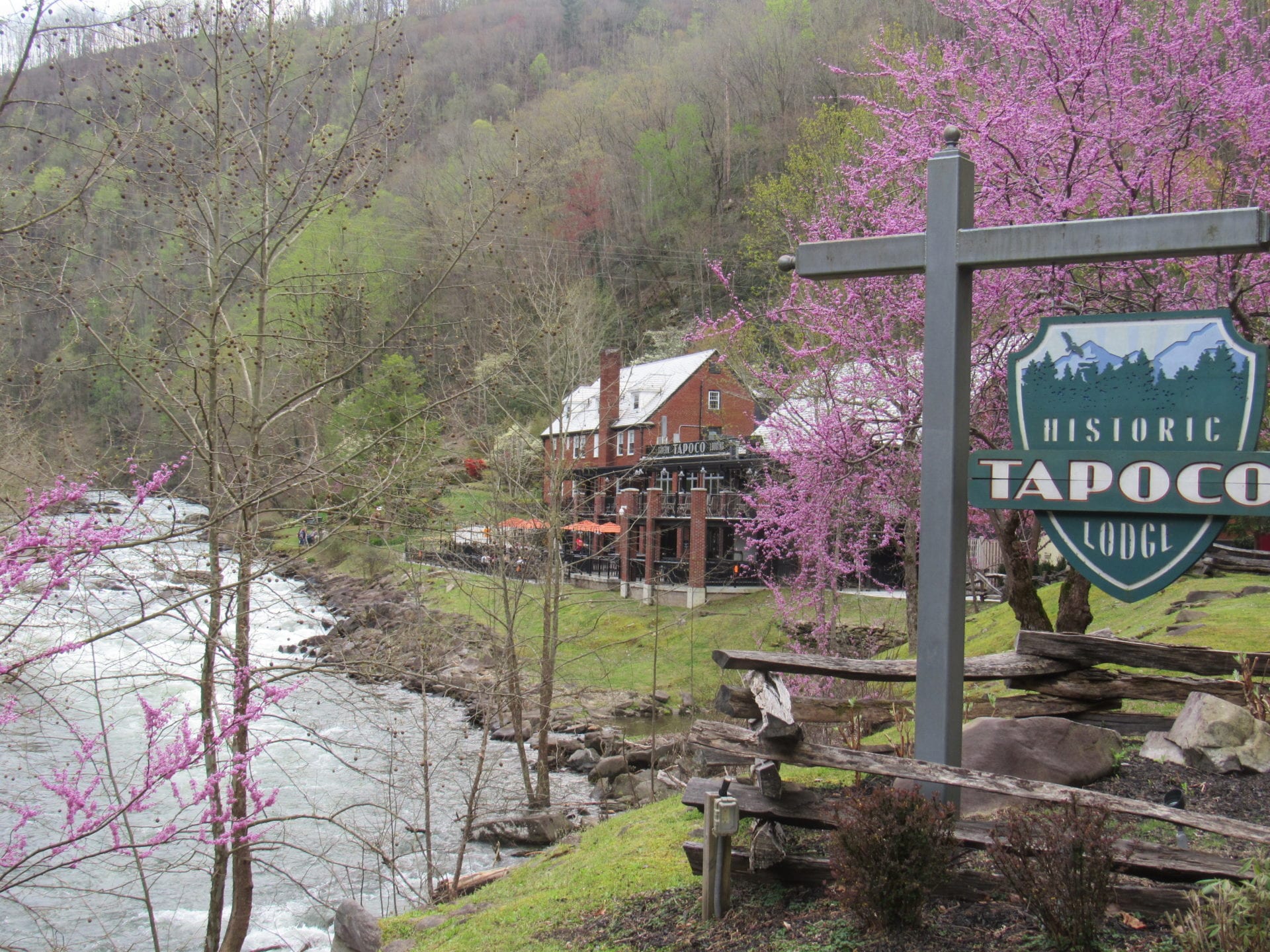
180.3 Tapoco Lodge Tapoco Lodge 18e-19a US 129 19a-19e N35° 26.607 W83° 56.310
180.5 Meadow Branch Road 19a Meadow Branch Rd N35° 26.592 W83° 56.194
182.3 Old Field Gap Road Old Fields Gap 19a-19b Old Fields Gap Rd N35° 26.460 W83° 54.794
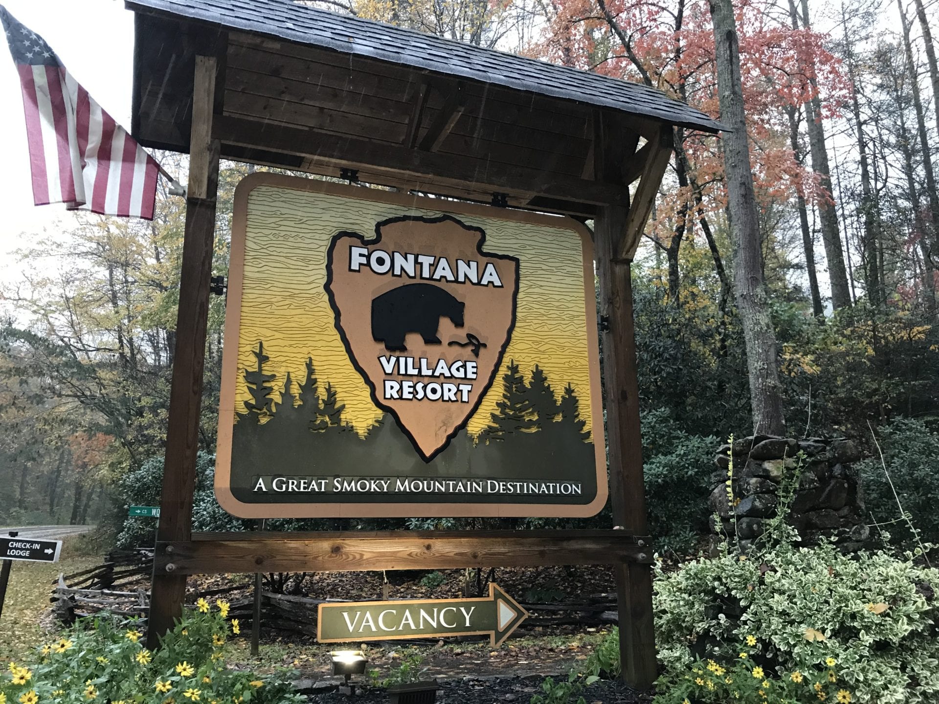
189.6 Fontana Village Lodge Fontana Village Lodge 19c-19d Fontana Rd N35° 25.938 W83° 49.265
192.6 Fontana Marina Fontana Marina 19d Fontana Marina Rd N35° 26.480 W83° 47.725
193.8 Fontana Dam Shelter Fontana Dam Shelter Parking 19d Fontana Dam Rd N35° 26.949 W83° 47.802
194.2 Fontana Dam Fontana Dam Visitor Center Parking 19e Fontana Dam Rd 20 N35° 27.107 W83° 48.121
End of Fontana Dam Rd AT Lakeshore Trail 19e-20a Fontana Dam Rd N35° 27.626 W83° 48.668

Great Smoky Mountains National Park

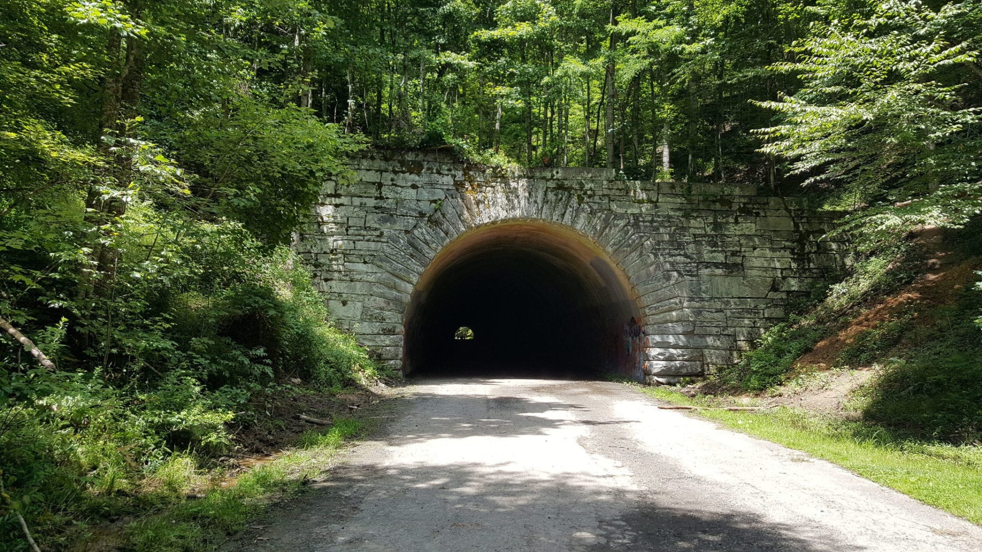
229 Noland Creek Trail Jct, ‘Road to Nowhere’ Road to Nowhere Tunnel 22b-22c Lakeshore Rd 22c N35° 27.512 W83° 32.205
254.6 US 441, Smokemont CG Smokemont Campground Trailhead Parking 23c-24a Smokemont Rd / US 441 24a N35° 33.179 W83° 18.605
269.3 Straight Fork Rd. Round Bottom Trailhead Parking 24b-25a Straight Fork Rd 25a-25b N35° 37.284 W83° 12.667
287.6 Big Creek Campground Big Creek 25b Big Creek Entrance Rd N35° 45.570 W83° 6.350

Recommended Maps & Guidebooks

The Benton MacKaye Trail Association is greatly appreciative of the REI: Hiking Project. We have made extensive use of the valuable resource throughout our website. It is excellent for planning, but probably not the best for navigation.

  • When hiking, an electronic app of the BMT is an essential item for every hiker’s backpack — the FarOut app is one that has excellent reviews.
  • Hikers also should carry a good compass, excellent maps and guidebooks. These items not only have more detailed information on the trail, more importantly, they act as a “safety net” in case the phone’s battery goes to “0”, the phone gets wet or, even worse, is lost.

The following maps and guidebooks are available at the BMTA Trail Store.

BMTA sign

Maps

Trails Illustrated #777 – Springer and Cohutta Mountains [Chattahoochee National Forest]  covers the BMT from its southern terminus at Springer Mountain, GA, (shared with the Appalachian Trail) to Big Frog Mountain just across state line in Tennessee.

Trails Illustrated #781 – Tellico and Ocoee Rivers [Cherokee National Forest]  covers from Scroggin Knob (mile 44, near Rich Mountain Wilderness in Georgia) all the way to the Smokies (mile 190).

Trails Illustrated #316 – Cades Cove, Elkmont: Great Smoky Mountains National Park  covers the eastern section of the BMT within the National Park from the eastern end of Lakeshore Trail to Big Creek Terminus.

Trails Illustrated #317 – Clingmans Dome, Cataloochee: Great Smoky Mountains National Park  covers the western section of the BMT within the National Park from Fontana Dam to Campsite 63 on Noland Creek.

Trails Illustrated #229 – Great Smoky Mountains National Park (covers the GSMNP in a single, two-sided map).

Trail Guide Series

Each guide gives details of the trail section by section, including trailhead directions, map, elevation guide, tips and more. The guides are essential for hiking the Benton MacKaye Trail.  Each is 4.25″ x 11″, 48 pages, full-color, on heavy duty stock.

Benton MacKaye Trail Guide – Georgia Section

Benton MacKaye Trail Guide – Tennessee/North Carolina Section

Benton MacKaye Trail Guide – Smokies Section

TRAIL SERIES GUIDE
Mountain view

BMT Data Book and Thru-Hikers Guide

BMT Data Book Newly revised for 2017, the BMT Data Book lists distances, elevations, landmarks, roads, campsites and services over the entire 300 miles of the BMT and Approach Trails — including the Yellow Creek Reroute. Pocket-Sized (4″ x 5″) 36 pages on heavy duty stock.

Benton MacKaye Trail Thru-Hikers Guide 2020-21 EDITION The definitive publication for those hiking the entire trail. Sgt. Rock’s Thru-Hikers Guide contains all the info you need to plan your trip and carry out the plan. 5 1/2″ x 8 1/2″, 66 pages on heavy duty stock.

Vital Trail Information

  • Trail Length:

    Current official length is 287.6. Approximately 95% of the route is on public lands managed by either the USFS or the NPS. Only 15 miles currently remain as road walks.

  • Trail Type

    The BMT is a backcountry hiking trail. The BMT travels the high ridges but descends to cross seven rivers and numerous creeks. Difficulty is similar to that of the AT. The BMT offers moderately difficult day hikes as well as more challenging backpacking treks and thru hikes. Nearly half the route is on land managed as Wilderness by either the USFS and the NPS.

  • Trail Elevation

    Ascent: 54,682′
    Descent: -56,808′
    High: 5,779′
    Low: 755′
    Grade: Avg Grade: 6% (4°)
    Max Grade: 22% (13°)

    Lowest: 765 feet at crossing of the Hiwassee River in Reliance, TN.
    Highest: 5,843 feet at summit of Mt. Sterling in the Smokies.

  • Dog Leash Policy

    Leashed dogs allowed except no dogs allowed in GSMNP.

  • The Blaze

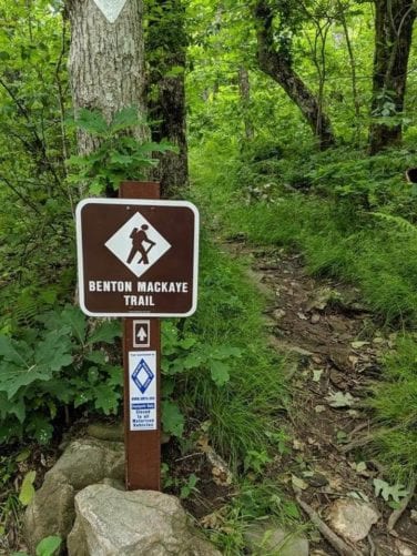
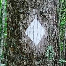
    The official blaze is a white diamond, 5″ across by 7″ tall. (None permitted in Wilderness.)

  • Resupply Points

    For long-distance hikers, see Thru Hikers Guide and Resupply Strategy page.

    Trailheads and Access Points 

    16 in Georgia, 24 in Tennessee / North Carolina, and five in the Smokies. See Trail Heads and Access Points for a detailed listing.

  • Shelters

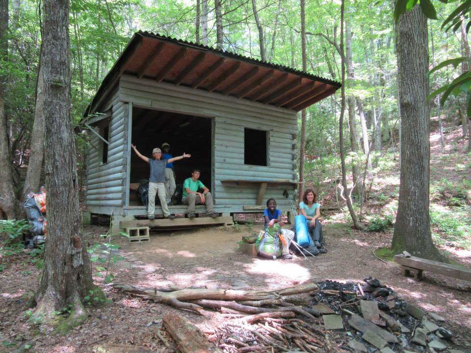
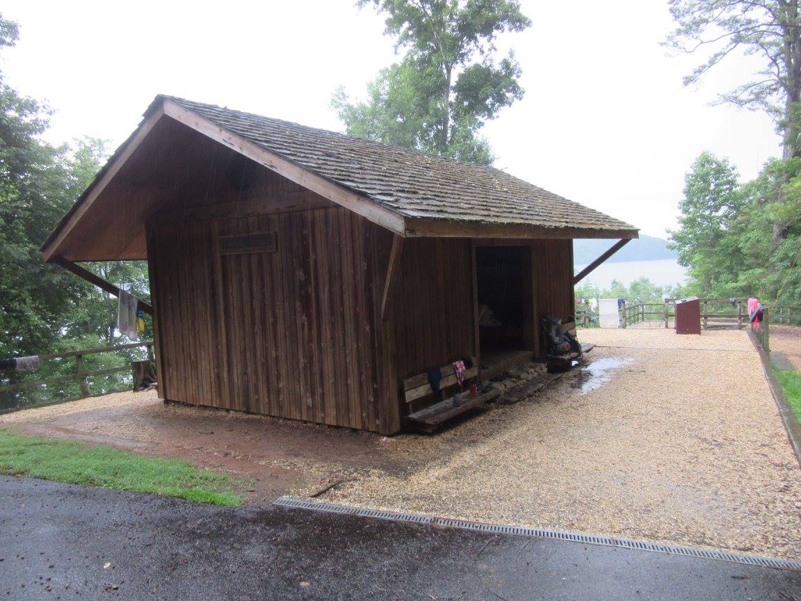
    The BMT is predominantly a tent/tarp/hammock trail. There is a BMT shelter on the Sisson property at mile 50.3. The trail also passes by the AT’s Fontana Hilton and Laurel Gap shelters.

  • Permits Required

    The Great Smoky Mountains National Park requires a permit and advance reservations for all backcountry camping in the park. Before planning your backcountry trip, please read through this important information about reservations and permits, regulations, bear safety, trail closures and more Learn more.

  • Degree of Difficulty

    The BMT travels the high ridge. Difficulty is similar to that of the AT. The BMT offers moderately difficult day hikes as well as more challenging backpacking treks and thru hikes.

  • Water availability

    Generally, not a problem in the Appalachians, though there are a few stretches where water is limited. One stream (at the southern crossing of Georgia Hwy 60, mile 17.9) is not potable.

  • Permitted Uses

    While the BMT is a hiking trail, some segments are routed on local trails with pre-existing horse or bicycle use permitted.

  • Weather

    The BMT is generally open year-round, but hikers should be prepared for extreme weather, especially in the higher elevations.

  • Total Road Walks

    Over the entire trail, approximately 15 miles of road walking combined.

  • Major Intersecting Trails

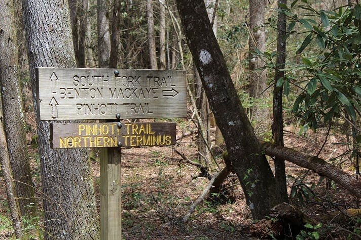
    The BMT intersects the AT at miles: 0.0, 3, 4, 6-7, 192-195 and connects to the AT at 288; intersects the Pinhoti (GA) at 71; and the Mountains-to-Sea Trail at 242-251.

  • Deep Water Fords?

    Several creek crossings but no deep-water fords.

  • Crowds

    Known as a trail where hikers can enjoy mile after mile of peaceful solitude, crowds are not a problem.

    Check for the latest trail conditions HERE.

Section Hiker's Tracking Log

Benton MacKaye Trail Section Hikers Log Sheets
Georgia
Section Id Trailhead Names Miles Total Date/s
01a Springer Mountain » Big Stamp Gap 1.70 1.70
01b Big Stamp Gap » 2nd Cross Trails 2.20 3.90
01c 2nd Cross Trails » Three Forks 2.10 6.00
02a Three Forks » No Name Gap 2.60 8.60
02b No Name Gap » Bryson Gap 3.40 12.00
02c Bryson Gap » Toccoa River 2.80 14.80
02d Toccoa River » GA HWY 60 3.60 18.40
03a GA HWY 60 » Wallalah-Licklog Saddle 2.20 20.60
03b Wallalah-Licklog Saddle » Licklog-Rhodes Saddle 1.40 22.00
03c Licklog-Rhodes Saddle » Skeenah Gap 2.00 24.00
04a Skeenah Gap » Payne Gap 2.10 26.10
04b Payne Gap » Wilscot Gap, GA HWY 60 3.20 29.30
05a Wilscot Gap, GA HWY 60 » Ledford Gap 2.30 31.60
05b Ledford Gap » Brawley Mountain 0.90 32.50
05c Brawley Mountain » Dial Road 2.40 34.90
05d Dial Road » Shallowford Bridge 1.90 36.80
06a Shallowford Road Bridge » Fall Branch (at Road) 3.50 40.30
06b Fall Branch (at Road) » Stanley Gap Trail 1.20 41.50
06c Stanley Gap Trail (old Rich Mountain Trail) » — 2.10 43.60
06d Stanley Gap Trail » Weaver/Laurel Creek Road 2.90 46.50
07a Weaver/Laurel Creek Road » GA HWY 515 2.60 49.10
07b GA HWY 515 » Shelter (Sisson`s) 1.70 50.80
07c Shelter (Sisson`s) » Boardtown Road 2.30 53.10
07d Boardtown Road » Bushy Head Gap (Road) 2.10 55.20
08a Bushy Head Gap » Hudson Gap 2.60 57.80
08b Hudson Gap » McKenny Gap 1.50 59.30
08c McKenny Gap » Hatley Gap 1.00 60.30
08d Hatley Gap » Fowler Mountain 1.30 61.60
08e Fowler Mountain » Halloway Gap 2.00 63.60
08f Halloway » Double Hogpen Gap 1.20 64.80
08g Double Hogpen Gap » Flat Top Mountain 1.60 66.40
08h Flat Top Mountain » Dyer Gap 1.20 67.60
09a Dyer Gap » Pinhoti Intersection (SFT) 2.20 69.80
09b Pinhoti Intersection (SFT) » Pate Gap 1.60 71.40
09c Pate Gap » Watson Gap 0.70 72.10
10a Watson Gap » Jacks River Trail 2.60 74.70
10b Jacks River Trail » Hemp Top Trail 1.50 76.20
10c Hemp Top Trail » Hemp Top 3.10 79.30
10d Hemp Top » Double Spring Gap 1.30 80.60
11a Double Spring Gap » Big Frog Mountain 1.30 81.90
11b Big Frog Mountain » Fork Ridge Trail 1.80 83.70
11c Fork Ridge Trail » Rough Creek Trail 1.80 85.50
11d Rough Creek Trail » USFS Road 221 2.80 88.30
11e USFS Road 221 » US HWY 64 3.40 91.70
Tennessee & North Carolina
Section Id Trailhead Names Miles Total Date/s
12a US 64 » Dry Pond Lead high point 4.00 95.70
12b Dry Pond Lead » Kimsey Highway 2.70 98.40
12c Kimsey Highway » McFarland Road, FS 23 2.40 100.80
12d McFarland » White Oak Flats, FS 103 3.90 104.70
12e FS 103 » FS 173 – Trestle 4.10 108.80
13a Trestle » John Muir Trail at Childers Creek 1.20 110.00
13b Childers Creek » Big Bend 3.00 113.00
13c Big Bend » Towee Creek 1.20 114.20
13d Towee Creek » Wildcat Creek 2.70 116.90
13e Wildcat Creek » FS 22B 3.10 120.00
14a FS 22B » Unicoi Mountain Trail (TN HWY 68) 4.00 124.00
14b TN HWY 68 » Buck Bald Road 1.10 125.10
14c Buck Bald Road » Unicoi Gap 3.60 128.70
15a Unicoi Gap » Tate Gap 4.50 133.20
15b Tate Gap » Sixmile Gap 1.80 135.00
15c Sixmile Gap » Sandy Gap 2.10 137.10
16a Sandy Gap » Round Top, State Line 3.90 141.00
16b Round Top » Sled Runner Gap 2.40 143.40
16c Sled Runner Gap » Brookshire Creek xing 3.20 146.60
16d Brookshire Creek » Sugar Mountain Road 2.50 149.10
16e Sugar Mountain Road » Tellico River Road (FS 210) 2.40 151.50
17a Tellico River Road » Mangan Branch 2.90 154.40
17b Mangan Branch » FS 61B 3.20 157.60
17c Sycamore Creek Trailhead » Mud Gap 2.90 160.50
17d Mud Gap » Beech Gap, Nantahala NF 3.00 163.50
18a Beech Gap » Haoe Lead Intersection (SW) 4.20 167.70
18b Haoe Lead Intersection (SW) » Hangover Lead Trail 1.60 169.30
18c Haoe Lead intersection (NE) » Big Fat Gap 3.10 172.40
18d Big Fat Gap » Yellowhammer Gap 4.30 176.70
18e Yellowhammer Gap » Tapoco Lodge 1.80 178.50
19a Tapoco Lodge » Old Field Gap Road 1.90 180.40
19b Old Field Gap Road » FS 251C (East End) 3.00 183.40
19c FS 251C (East End) » Fontana Lodge 4.80 188.20
19d Fontana Lodge » AT Intersection 2.90 191.10
19e AT Intersection » Fontana Dam (North End) 2.20 193.30
Great Smoky Mountains National Park
Section Id Trailhead Names Miles Total Date/s
20a Fontana Dam (North End) » Eagle Creek Trail 6.80 200.10
21a Eagle Creek Trail » Campsite 86 4.40 204.50
21b Campsite 86 » Campsite 77 7.60 212.10
21c Campsite 77 » Campsite 98 7.20 219.30
22a Campsite 98 » Campsite 74 6.00 225.30
22b Campsite 74 » Noland Creek Trail Junction 3.70 229.00
22c Noland Creek Trail Jct. » Noland Divide Trail Jct. 9.20 238.20
23a Noland Divide Trail Jct. » Deep Creek Trail, MST 3.30 241.50
23b Deep Creek Trail, MST » Campsite 52 7.90 249.40
23c Campsite 52 » Smokemont Campground 5.40 254.80
24a Smokemont Campground » Campsite 47 9.40 264.20
24b Campsite 47 » Straight Fork Road 5.50 269.70
25a Straight Fork Road » Laurel Gap Shelter 4.50 274.20
25b Laurel Gap Shelter » Big Creek 12.10 286.30

Like Us on Facebook and follow us on Instagram

Benton MacKaye Trail Association Facebook 

Benton MacKaye Trail Hikers Facebook  – Ask to join and post your trail photos and stories here.

Follow us on our new Instagram page!

Instagram – post your best picture here #offiicial_benton_mackaye_trail.