Skip to Main Content

Hikes Along a River

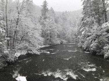
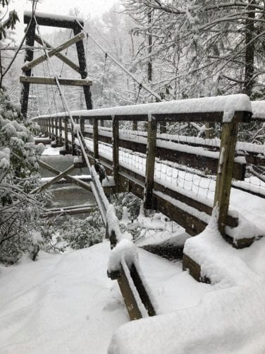
toccoa swinging bridge with snow

Toccoa River Bridge

(Swinging Bridge)

One of the most visited sites on the Benton MacKaye Trail (BMT) is the 260-foot “Swinging Bridge” across the Toccoa River, near Blue Ridge and Ellijay, GA.

Frequent hikers will enjoy the 3.5-mile hike on the BMT from GA Hwy 60 between Morganton and Suches, but for kids, you’ll want to consider the three-mile drive on the unpaved Forest Service Road 816. From the parking area, it’s a short walk to the bridge.

Built in the mid-1970s, it is one of the longest foot trail suspension bridges in the East and the longest in the southern Appalachians — only forty feet short of a football field’s length. Originally built as a relocated Appalachian Trail route, in the early 1980s, the Swinging Bridge became part of the route for the BMT.

The bridge spans pristine, picturesque rapids on the Toccoa River — which is part of the officially designated “Toccoa River Canoe Trail” (14 miles long) within the Chattahoochee National Forest. Here you are likely to see fisherman and canoeists as well as other hikers enjoying the beautiful Toccoa River.

And, kids will especially enjoy their walk across the bridge as it bounces a bit with each step.

Be sure to bring a picnic lunch to enjoy stream-side!

The Benton MacKaye Trail Association helps maintain the bridge by replacing timbers and hardware. The work is funded by donations. Learn how you can make a donation to one of the many trail projects by going to DONATE.

Toccoa River Bridge Trail Information

toccoa river from swinging bridge
lost creek

Lost Creek

Lost Creek Limestone Gorge Hike, Reliance, TN

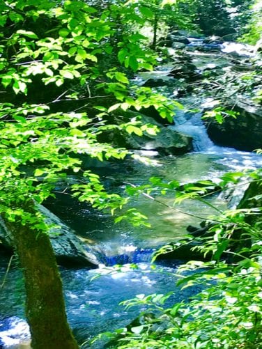
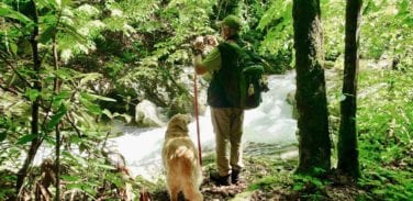
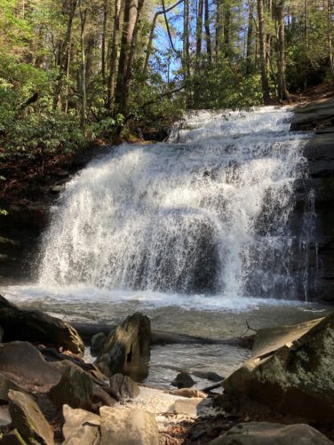
This is a great kid and dog friendly hike near Reliance, TN. Imagine your kids and dogs playing below gentle waterfalls in a limestone gorge with the trail right next to the creek.

Because it follows an old roadbed most of the way, the trail is easy hiking … and … some say this hike is one of the most beautiful hikes on the Benton MacKaye Trail.

Be sure to bring swim trunks and towels! This section is loaded with smallmouth bass, so bring your fishing pole as well.

The trail leaves the road to switchback down to the creek where you follow the trail downstream. The best part of the gorge with the waterfalls is about a mile downstream … a great place to hang out.

Be sure to take your camera to capture your memories. And, take a lunch for your family crew.

With kids, we advise driving to Lost Creek Campground. Hike down the creek for three miles. Where the trail leaves the creek, turn around and hike back making for a six-mile hike. Here you also have the option of hiking down the creek as much or as little as the kids want. Enjoy a swim and hike back to Lost Creek Campground.

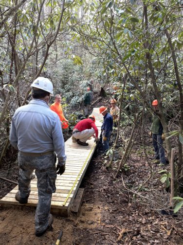
You will be interested to know that this trail is maintained by a “Section Maintainer”. He lives in Delano, TN, and spends many a Saturday removing down trees and clearing the overgrowth. Interested in Trail Maintenance? Learn More

Lost Creek Trail Information

dogs at lost creek
Hiwassee

Hiwassee River

Hiking along the Hiwassee River, Reliance, TN

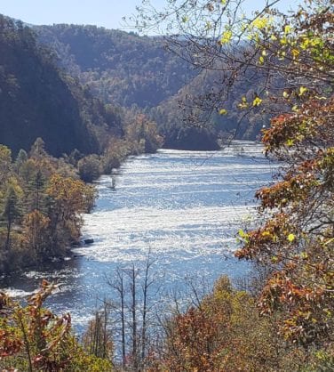
The Hiwassee River is one of the most gorgeous rivers in the Appalachians. It is a broad, raging river with continuous shoals.

When the water is low, trout fishermen wade the river with their fly rods, and when the river is up, they’re seen in their weird-shaped drift boats. When high, the river is home to hundreds of kayaks and canoes.

Start your hike at the Childers Creek Trailhead and head upstream to the Towee Creek parking area. The first three miles takes you along the edge of the river and around a rocky point at the half-way point– which makes a great picnic spot. Farther upstream, there is a campsite with an inviting swimming beach when the water is low. The last 1.3 miles takes you up on the side of the ridge with great views of the river valley below.

This hike is best done with a shuttle, but you can hike up and back for a nice 8.6-mile hike, or, six miles if you turn around at the Big Bend parking area.

The Section Maintainer for this section lives in Cleveland, TN. To learn how you, your group, church or business can adopt a section of trail contact us.

Hiwassee River Trail Information

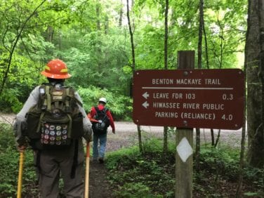
hiwassee sign
Short View

Trout Adventure Trail

Organized by the Blue Ridge Chapter of Trout Unlimited, the Trout Adventure Trail (TAT) follows two legendary trails in the Chattahoochee National Forest in North Georgia — the Benton MacKaye and the Appalachian trails.

The TAT offers individual hikers, families and organized groups the opportunity to hike as well as to learn and earn a distinctive commemorative award patch as recognition of their commitment to outdoor education, conservation and accomplishment. Future plans include signed stations along the trout streams to help hikers discover and understand the dynamics of the environment in the immediate area of the station.

The hike along Long Creek is an easy one while a hike from Springer Mountain to Three Forks is moderately strenuous. Most challenging of all is the 12-mile trek from Three Forks to Long Creek Falls.

Bring the family and choose the hike that’s right for you – don’t forget your fishing gear! Stover Creek, located on an AT section of the TAT, is a “brook trout stream”. The only trout species in Stover Creek is native brook trout of the southern Appalachian Mountains. These small, colorful fish take flies readily, but the stream is crowded with rhododendrons, mountain laurel and other vegetation that make fly-fishing challenging.

If you’ve completed the 12-mile TAT and want to receive a patch, email info@blueridgemountains.com or call (706) 632-5680.

For additional information, go to Trout Adventure Trail.

Trout Adventure Trail Information

Trailheads are at the Springer Gap parking lot on FS 42 and Three Forks on FS 58.

  • Distance: 4.6, 6.2, 10.6 and 12 miles
  • Difficulty Rating: Intermediate / Difficult
  • Benton MacKaye Trail Section #: 1a, 1b,1c and 2a
  • Dog Friendly? Dogs on Leash Allowed.
  • Recommended Guide Book: Benton MacKaye Trail Guide – GA Section

Go HERE for Trout Adventure Trail map.

1a-1c Springer Mountain to Three Forks/FS 58

2a-2b Three Forks/FS 58 to Bryson Gap


IMG_1111