Skip to Main Content

Hikes with Amazing Views

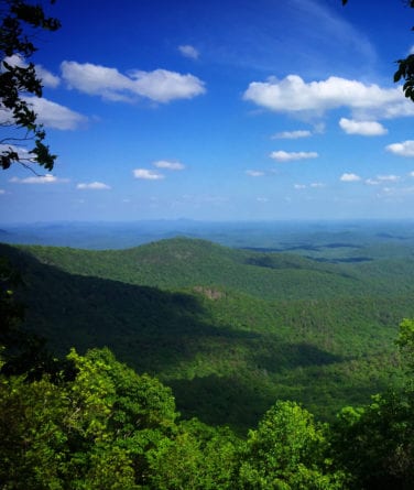
owen's overlook view

Springer Mountain Loop

Springer Mountain Loop Hike with Owen Vista

The Owen Vista offers one of the most beautiful vistas on the Benton MacKaye Trail (BMT) in Georgia. This is a wonderful half-day, or modest full-day hike (5.0 or 5.4 miles) that incorporates the southern termini in Georgia of two great trails and lovely vistas.

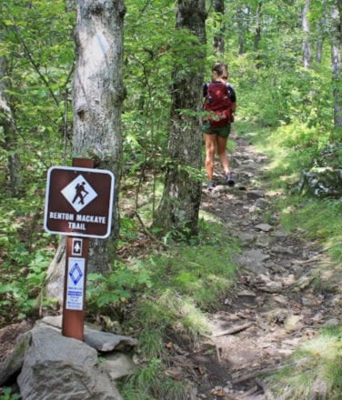
Park in the AT parking lot on Forest Service (FS) Road 42, and begin hiking on the AT — across the road from the parking lot — toward Springer Mountain’s summit. At the southern terminus sign for the BMT, turn left to start your journey on the BMT. Or, continue straight ahead to the AT terminus summit on Springer Mountain, situated atop a rock bluff with an exquisite overlook view to the west.

Continuing mostly downhill on the BMT, you’ll pass a bronze plaque embedded in a rocky outcrop. The plaque is a memorial dedicated to the trail’s namesake, Benton MacKaye.

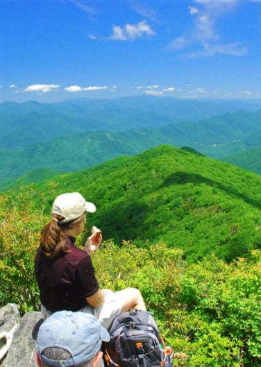
Your next stop will be at the sign for Owen Vista which is located a hundred feet to the south on a side trail. A favorite among hikers as a resting and snack location, this south-facing shady bluff vista is named after one of BMTA’s founding members, George Owen, who first noticed this spectacular view.

Continue on to again cross FS Road 42 at Big Stamp Gap (the BMT parking lot is to the south, with a connecting trail east of Road 42). The next 2.2 miles of the BMT undulates through mixed forest and over three shallow streams with rock crossings.

At the AT / BMT intersection, trek the AT to the left 0.3 to return to the AT parking lot and your vehicle.

You’ve just done the Springer Mountain Upper Loop using two famous trails!

Once you have enjoyed the trail consider giving back to the dedicated volunteers who maintain the Benton MacKaye Trail. Learn more about Membership and Volunteering with the Benton MacKaye Trail Association.

Springer Mountain Loop Trail Information

  • Distance: 5.0 or 5.4 miles.
  • Difficulty Rating: Intermediate.
  • Benton MacKaye Trail Section #: 1a.
  • Dog Friendly: Dogs on Leash Allowed.
  • Recommended Guide Book: Benton MacKaye Trail Guide – GA.

See onX: Hiking Project for map and additional details:  Springer Mountain Loop Hike with Owen Vista.

Check for the latest trail conditions HERE

Benton MacKaye Trail
wallalah view

Rhodes / Wallalah

Double Your Pleasure – Two Great Vistas in One

Lovely vistas near the summits of the first and third mountains make Section 3 of the BMT a must for hikers in search of panoramic views. Leaving the trailhead on Hwy 60, you cross Little Skeenah Creek, a bubbling, crystal-clear mountain creek.

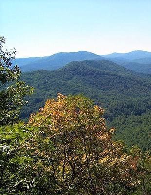
The climb proceeds steadily uphill to a steep vista just below the summit of Wallalah Mountain. The picturesque view to the south includes the lower Tooni Mountain ridge in the foreground and the higher John Dick peaks beyond. The ridge on the horizon to the southeast houses the Blue Ridge front-range’s Appalachian Trail route.

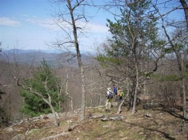
Continuing north crossing Wallalah’s summit, you follow a ridgeline where panoramic views of the surrounding mountains abound when the trees are bare. In spring, hundreds of snow white Blood Root blooms dot the landscape as you approach Licklog Mountain. The descent that follows from Licklog to Rhodes Mountain is lined with emerald green Mountain Laurel.

The second overlook is just below the summit of Rhodes Mountain. A fairly steep side trail (the Duncan Ridge Trail) takes you to an overlook on the left, just before the Rhodes summit. As you take in the incredible mountain views to the west and southwest, relax and enjoy a snack while comfortably seated on the vista’s “sitting stones”.

Return to the BMT and descend to the Skeenah Gap trailhead at Skeenah Gap Road — much of this section also is framed with a canopy of Mountain Laurel.

Please note: the step replacement at Little Skeenah Creek was paid for by members of the Benton MacKaye Trail Association and a generous donor. Learn more about Donating to this and other trail projects.

Rhodes Wallalah Trail Information

  • Distance: 6.2 miles.
  • Difficulty Rating: Intermediate to Difficult.
  • Benton MacKaye Trail Section #: 3a, 3b and 3c.
  • Dog Friendly? Dogs on Leash Allowed.
  • Recommended Guide Book: Benton MacKaye Trail Guide – GA.

See onX: Hiking Project for map and further details:  Little Skeenah Creek Crossing to Skeenah Gap Road.

Check for the latest trail conditions HERE

rhodes mountain overlook
Whigg

Whigg Meadow

Whigg Meadow Hike, Tellico Plains, TN, and Robbinsville, NC

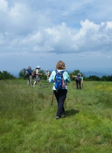
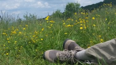
How would you like to take your family and dog up to a wide open bald on the top of the world? At Whigg Meadow, you’ll find great views and feel cool breezes. Enjoy your lunch sitting in the grass while your kids eat blueberries and blackberries and your dog romps around investigating every enticing scent.

Whigg Meadow is a “must do” on your hike list — it’s only a moderate 1.6 mile hike to get there!

The trailhead is at Mud Gap at mile 3.5 on the North Carolina side of the Cherohala Skyway. Hike up 500 feet in elevation over 1.6 miles to The Whigg, as locals call it. The bald is 5000 feet above sea level and 4300 feet above Tellico Plains and the Tennessee River.

This section of trail is maintained by a couple from Maryville, TN. To learn how your family can be involved in maintaining and preserving the trail go to Volunteer.

From the top you can see Big Frog Mountain, the Cumberland Plateau, Waucheesi Bald, Flats Mountain, the Cherohala Skyway and Haw Knob (at 5476 feet, this is the highest point in Monroe County, TN).

After your adventure, head back the way you came. Whether heading west on the Cherohala Skyway to Tellico Plains, or travelling east to Robbinsville, you’ll be captivated by the lovely views along this scenic byway.

End your day with supper in Tellico Plains or Robbinsville – what a great way to spend the day with your family!

Whigg Meadow Trail information

See onX: Hiking Project for map and further details:  Whigg Meadow Hike.

Check for the latest trail conditions HERE

Whigg
hangover

The Hangover & Bob Bald

The Hangover and Bob Bald Hike

This is one humdinger of a hike. It will be hard work to get there and back, but it is well worth it! Your reward is three great viewpoints — Hangover, Bob Bald and Naked Ground.

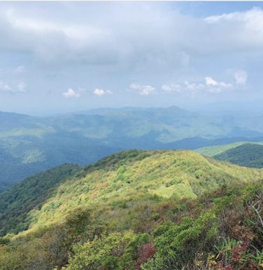
Wowie Zowie! While perched on a rocky outcrop of the Hangover, you’ll enjoy mile-high magnificent views of the Smokies and other surrounding mountains.

Naked Ground is a campsite area with a great view down into the Joyce Kilmer Memorial Forest.

Bob Bald is an open bald with views north along the Cherohala Skyway down below you and mountains as far south as Big Frog and the Nantahala Gorge area. If you are a geocacher, there are four “Mile High Series” geocaches on this route.

To make your way to the Wolf Laurel Trailhead, at Stratton Gap on the North Carolina side of the Cherohala Skyway, at about mile two, turn off the Skyway to an intersection by the bridge. Go straight onto gravel FS81 and drive four miles to a sharp left turn with a sign that says to “Swan Cabin” and “Wolf Laurel Trailhead”.  Follow the signs to the trailhead.

Hike up the access trail a short distance to the Stratton Ridge Trail, turn left and go 1.5 miles to the ridgeline. Turn right on the BMT north / Haoe Lead Trail to Naked Ground and then on to Haoe Mountain and the Hangover. Retrace your steps to the Stratton Ridge / Haoe Lead Trail intersection. Continue on the ridge another 0.8 miles on the BMT south to Bob Bald. Retrace your steps to your car. These trails are steep in places — not for the faint-hearted. Take plenty of water or restock at the springs listed in the Trail Guide: Benton MacKaye Trail Guide – TN/NC Section.

The Hangover & Bob Bald Trail Information

  • Distance: 8.7 miles.
  • Difficulty Rating: Intermediate / Difficult.
  • Benton MacKaye Trail Section #: 18a, 18b, 18c and 18d.
  • Dog Friendly? Dogs on Leash Allowed.
  • Kid Friendly: Yes, if able to do a strenuous hike with about 2000 feet of elevation gain.
  • Recommended Guide Book: Benton MacKaye Trail Guide – TN/NC Section.

See onX: Hiking Project for map and additional details:  The Hangover and Bob Bald.

Check for the latest trail conditions HERE

not a better place ever for lunch!